2024 Map of Jamestown
USGS Topo · Published 2024About this map
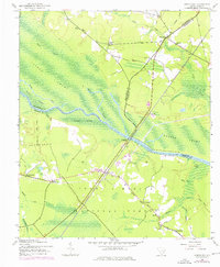
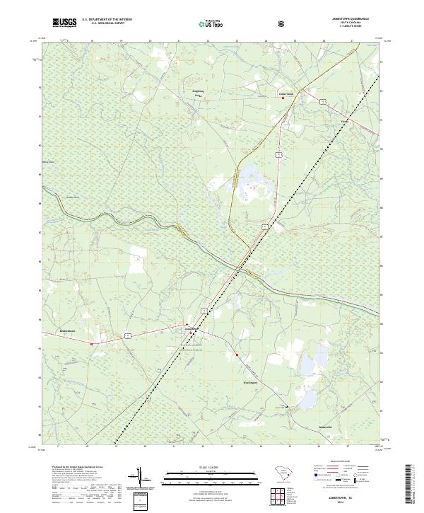
The Santee River carves a winding path through this corner of the South Carolina Lowcountry, marking the complex boundary where Williamsburg, Berkeley, and Georgetown counties meet. The landscape is defined by the expansive Francis Marion National Forest and a network of wetlands including Gregler Swamp and Cedar Creek Bay. Settlement patterns are concentrated along historic corridors like Santee Rd and Lenuds Ferry Rd, where small communities such as Jamestown, Singletary Forks, and Palmerville maintain a quiet presence.
Find a feature on this map
49 named features on this map. Tap any name to fly to it.
Don’t see what you’re looking for? This feature index may not catch every label — zoom into the map to look around manually.
Map Details
Editions of this 2024 Jamestown Map
This is the sole edition of this map. No revisions or reprints were ever made.