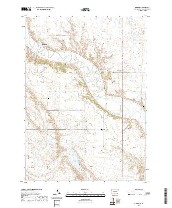
2021 Map of Jamesville
USGS Topo · Published 2021About this map
The James River snakes through the center of this Yankton County landscape, defining the topography near the small community of Jamesville. This modern survey illustrates the persistent agricultural grid and rural character of the region, where family heritage is preserved in numerous burial grounds scattered across the townships. Genealogists will find significant value in the documentation of several family and community resting places, including the Braunsreuther Family Cem, Rahn's Cem, and Voll Cem.
Find a feature on this map
28 named features on this map. Tap any name to fly to it.
Don’t see what you’re looking for? This feature index may not catch every label — zoom into the map to look around manually.
Map Details
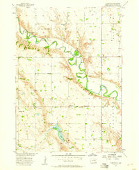
Editions of this 2021 Jamesville Map
This is the sole edition of this map. No revisions or reprints were ever made.
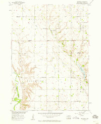
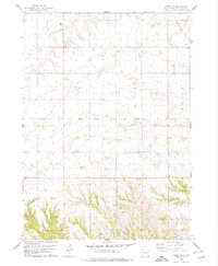
Historical Maps of Jamesville Through Time
7 maps found
Featured Locations
- Mayfield Township, SD
- Walshtown Township, SD
- Central Township, SD
- Jamesville Township, SD
- Jamesville, Jamesville Township