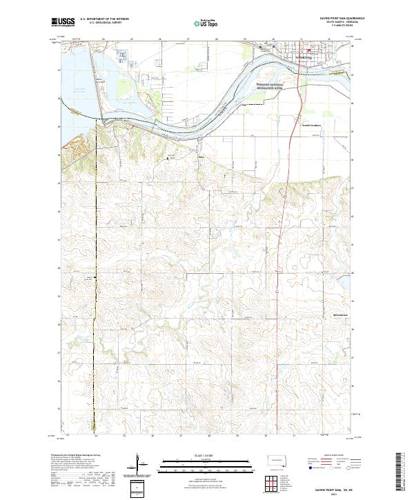
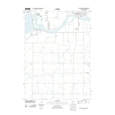
2021 Map of Gavins Point Dam
USGS Topo · Published 2021About this map
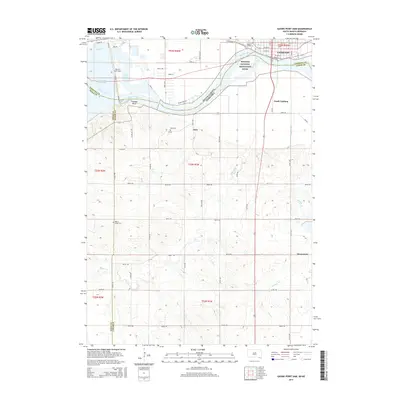
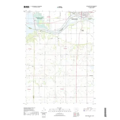
Gavins Point Dam anchors this landscape where the Missouri River forms the state line between South Dakota and Nebraska. The northern bank is dominated by the city of Yankton, featuring the Yankton County Courthouse and Mount Marty College. South of the river, the Nebraska side transitions into the rolling terrain of Cedar and Knox counties, where the small community of Aten and the Aten Cem overlook the water.
Find a feature on this map
76 named features on this map. Tap any name to fly to it.
Don’t see what you’re looking for? This feature index may not catch every label — zoom into the map to look around manually.
Map Details
Editions of this 2021 Gavins Point Dam Map
This is the sole edition of this map. No revisions or reprints were ever made.
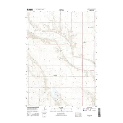
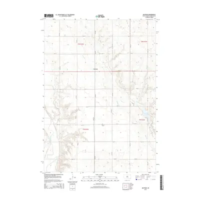
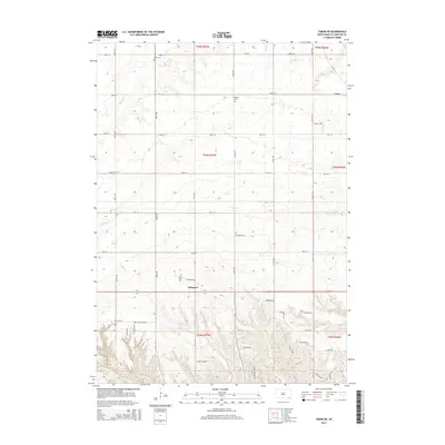
Historical Maps of Yankton Through Time
19 maps found
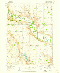
1957 Jamesville
Yankton County, SD
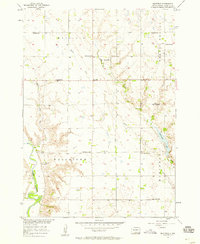
1957 Mayfield
Yankton County, SD
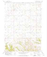
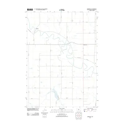
1978 Tabor NE
Yankton County, SD
2012 Gavins Point Dam
Yankton County, SD
2012 Jamesville
Yankton County, SD
2012 Mayfield
Yankton County, SD
2012 Tabor NE
Yankton County, SD
2015 Gavins Point Dam
Yankton County, SD
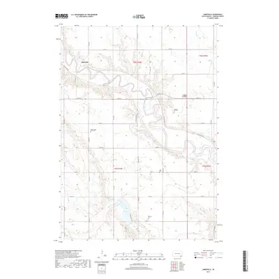
2015 Jamesville
Yankton County, SD
2015 Mayfield
Yankton County, SD
2015 Tabor NE
Yankton County, SD
2017 Gavins Point Dam
Yankton County, SD
2017 Jamesville
Yankton County, SD
2017 Mayfield
Yankton County, SD
2017 Tabor NE
Yankton County, SD
2021 Gavins Point Dam
Yankton County, SD
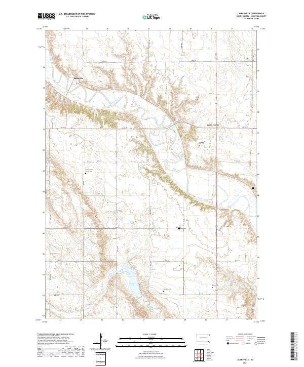
2021 Jamesville
Yankton County, SD
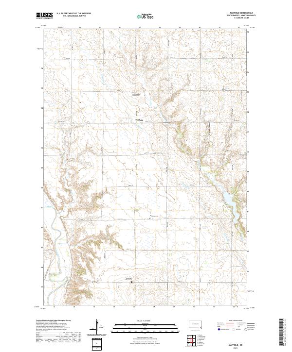
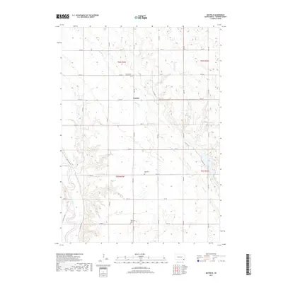
2021 Mayfield
Yankton County, SD
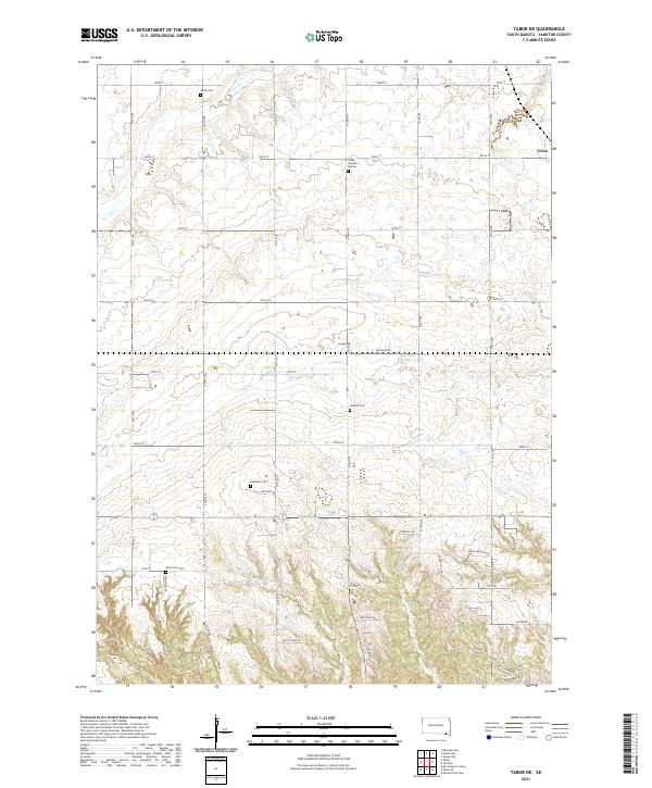
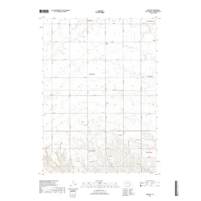
2021 Tabor NE
Yankton County, SD