1968 Map of Fordyce
USGS Topo · Published 1971About this map
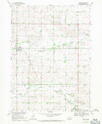
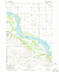
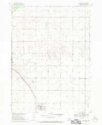
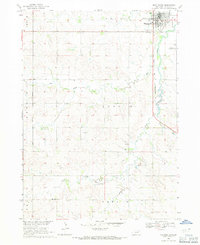
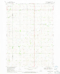
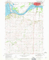
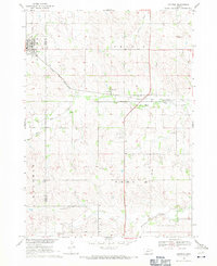
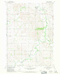
Fordyce sits at the center of this agricultural landscape in Cedar County, defined by its position along the Chicago and North Western railroad line. The rail corridor is a primary artery for the region, passing through the north end of Hartington near Felber Park. The terrain is deeply carved by a network of waterways including West Bow Creek, Bow Creek, and Norwegian Bow Creek, which dictate the placement of roads and farmstead boundaries. This late-1960s survey illustrates a specialized rural economy with numerous Gravel Pits scattered across the township, particularly near the river bends and rail sidings. Local transportation infrastructure includes the Becker Landing Strip and a significant road network connecting the primary settlements. To the southeast, the area around Hartington Cem and the local Radio Tower marks the outskirts of the county seat, providing a detailed look at the interface between the growing town and its surrounding prairie environment.
Find a feature on this map
20 named features on this map. Tap any name to fly to it.
Don’t see what you’re looking for? This feature index may not catch every label — zoom into the map to look around manually.
Map Details
Editions of this 1968 Fordyce Map
This is the sole edition of this map. No revisions or reprints were ever made.
Other maps of this area

1955 · Sioux City
USGS Topo · 1:250,000

1958 · Sioux City
USGS Topo · 1:250,000

1959 · Sioux City
USGS Topo · 1:250,000
1968 · St. Helena
USGS Topo · 1:24,000
1968 · Coleridge
USGS Topo · 1:24,000
1968 · Hartington
USGS Topo · 1:24,000
1968 · Hartington SW
USGS Topo · 1:24,000
1968 · Gavins Point Dam
USGS Topo · 1:24,000
1968 · Crofton
USGS Topo · 1:24,000
1968 · Wynot
USGS Topo · 1:24,000