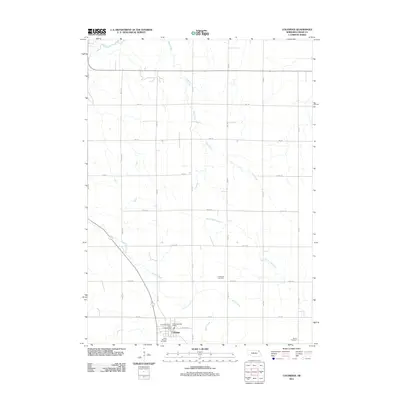
1968 Map of Coleridge
USGS Topo · Published 1971About this map
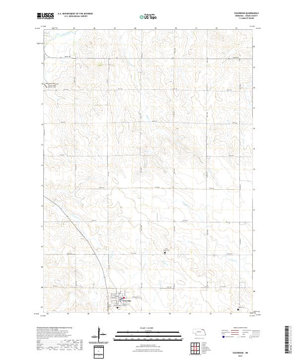
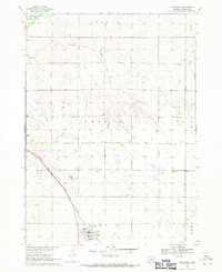
Coleridge serves as the primary hub of this Cedar County landscape, situated at the junction of the Chicago and North Western railroad and local rural routes. The town is flanked by the St Michael Cem and Norris Cem, providing significant points of interest for genealogists tracking early families in Northeast Nebraska. The surrounding terrain is defined by a dense network of drainage, including the headwaters of Kerloo Creek, North Logan Creek, and Dead Creek, which cut through the agricultural sections of Prec 13 and Prec 16.
Find a feature on this map
19 named features on this map. Tap any name to fly to it.
Don’t see what you’re looking for? This feature index may not catch every label — zoom into the map to look around manually.
Map Details
Editions of this 1968 Coleridge Map
This is the sole edition of this map. No revisions or reprints were ever made.
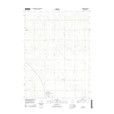
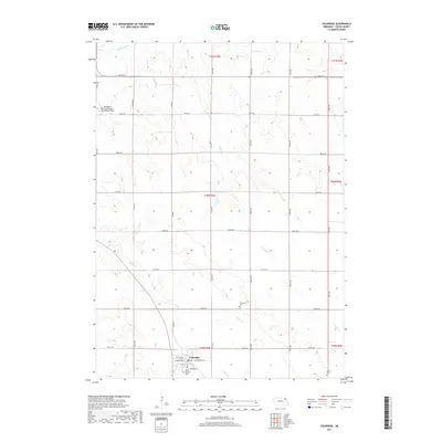
Historical Maps of Coleridge Through Time
5 maps found