
1968 Map of Wynot
USGS Topo · Published 1971About this map
Wynot and St James anchor this 1960s landscape, where the intricate drainage system of Bow Creek carves through the Nebraska terrain. The map details the confluence of West Bow Creek and East Bow Creek, showing a rural economy defined by agriculture and local resource extraction. Several Gravel Pits and a Sandpit are scattered near the creek beds, indicating the geological importance of these valley floors.
Find a feature on this map
14 named features on this map. Tap any name to fly to it.
Don’t see what you’re looking for? This feature index may not catch every label — zoom into the map to look around manually.
Map Details
Editions of this 1968 Wynot Map
This is the sole edition of this map. No revisions or reprints were ever made.
Other maps of this area

1955 · Sioux City
USGS Topo · 1:250,000

1958 · Sioux City
USGS Topo · 1:250,000

1959 · Sioux City
USGS Topo · 1:250,000

1968 · Obert
USGS Topo · 1:24,000

1968 · St. Helena
USGS Topo · 1:24,000

1968 · Coleridge
USGS Topo · 1:24,000

1968 · Hartington
USGS Topo · 1:24,000
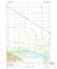
1968 · Meckling
USGS Topo · 1:24,000
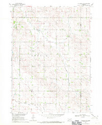
1968 · Coleridge SE
USGS Topo · 1:24,000

1968 · Fordyce
USGS Topo · 1:24,000