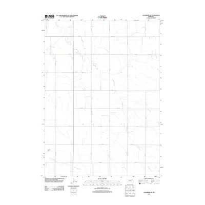
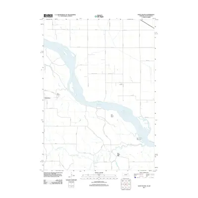
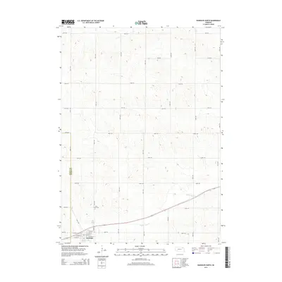
1968 Map of Hartington SW
USGS Topo · Published 1971About this map
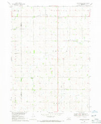
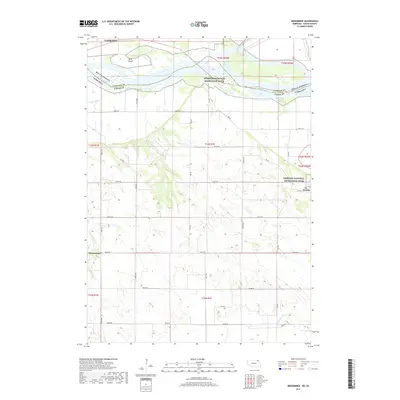
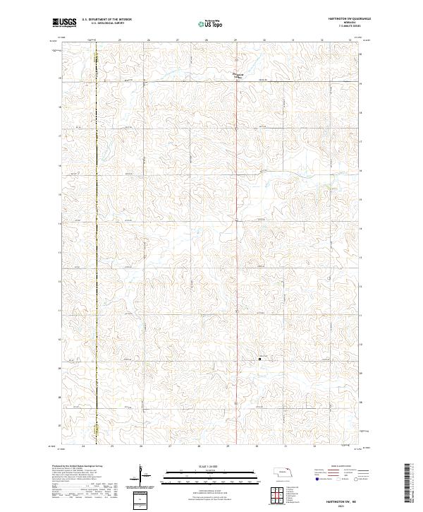
Bow Creek and Pearl Creek wind through the agricultural landscape of Knox and Cedar Counties in this late 1960s survey. The map details the rural social geography of the era, centered on small educational hubs like Harmony Sch, Goldenrod Sch, and Sunny Hill Sch. The township divisions of Dolphin, Dowling, and Lincoln are clearly marked, alongside the quiet community of Pleasant Valley. A unique aspect of this specific topographic study is the inclusion of fine red dashed lines that indicate selected fence and field lines visible from aerial photographs, providing a granular look at local land management and property boundaries. Genealogists will find interest in the centrally located Oliver Grove Cem, a primary landmark for the surrounding farming families during this period.
Find a feature on this map
16 named features on this map. Tap any name to fly to it.
Don’t see what you’re looking for? This feature index may not catch every label — zoom into the map to look around manually.
Map Details
Editions of this 1968 Hartington SW Map
This is the sole edition of this map. No revisions or reprints were ever made.
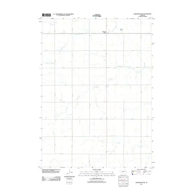
Historical Maps of Precinct 10 Through Time
24 maps found
1968 Coleridge SE
Cedar County, NE
1968 Hartington SW
Cedar County, NE
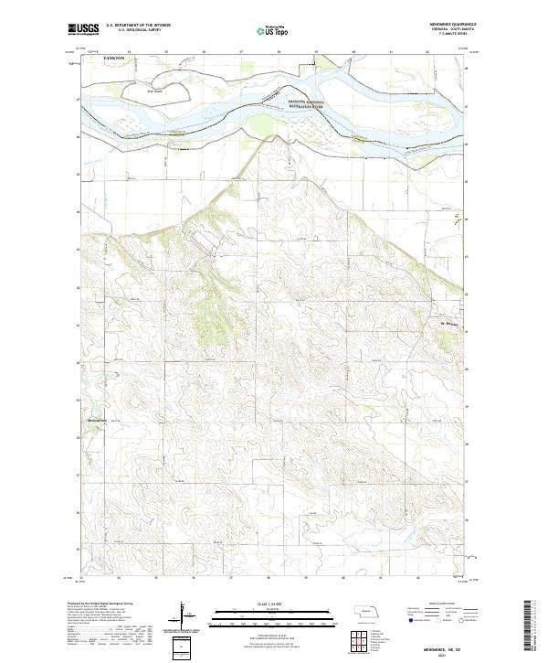
1968 Menominee
Cedar County, NE
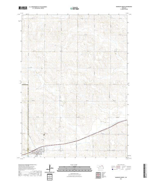
1971 Randolph North
Cedar County, NE
2011 Coleridge SE
Cedar County, NE
2011 Hartington SW
Cedar County, NE
2011 Menominee
Cedar County, NE
2011 Randolph North
Cedar County, NE
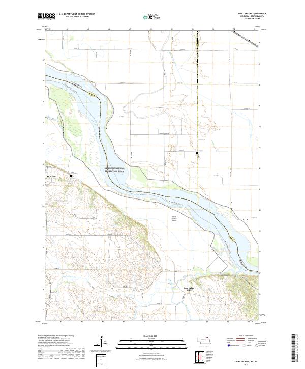
2011 Saint Helena
Cedar County, NE
2014 Coleridge SE
Cedar County, NE
2014 Hartington SW
Cedar County, NE
2014 Menominee
Cedar County, NE
2014 Randolph North
Cedar County, NE
2014 Saint Helena
Cedar County, NE
2017 Coleridge SE
Cedar County, NE
2017 Hartington SW
Cedar County, NE
2017 Menominee
Cedar County, NE
2017 Randolph North
Cedar County, NE
2017 Saint Helena
Cedar County, NE
2021 Coleridge SE
Cedar County, NE
2021 Hartington SW
Cedar County, NE
2021 Menominee
Cedar County, NE
2021 Randolph North
Cedar County, NE
2021 Saint Helena
Cedar County, NE