
1971 Map of Wausa
USGS Topo · Published 1973About this map
Wausa anchors the northern edge of this Knox County landscape, situated atop the drainage divide where the headwaters of the North Fork Elkhorn River begin their southward trek. The 1971 survey reveals a transition in regional transportation, clearly marking the path of an Old Railroad Grade that once served the community, alongside the active tracks of the Burlington Northern running through the southern section. The terrain is defined by the winding course of the Elkhorn and its tributaries, including the East Branch North Fork Elkhorn River, which carve subtle valleys through the agricultural plains. This map also captures the political boundary between Knox Co and Pierce Co, providing a precise record of the rural infrastructure and land use in northeast Nebraska during the early 1970s.
Find a feature on this map
6 named features on this map. Tap any name to fly to it.
Don’t see what you’re looking for? This feature index may not catch every label — zoom into the map to look around manually.
Map Details
Editions of this 1971 Wausa Map
This is the sole edition of this map. No revisions or reprints were ever made.
Other maps of this area

1955 · Sioux City
USGS Topo · 1:250,000

1958 · Sioux City
USGS Topo · 1:250,000

1959 · Sioux City
USGS Topo · 1:250,000

1963 · Foster
USGS Topo · 1:24,000

1963 · Osmond
USGS Topo · 1:24,000

1968 · Hartington SW
USGS Topo · 1:24,000

1968 · Bloomfield SE
USGS Topo · 1:24,000
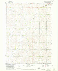
1971 · Randolph SW
USGS Topo · 1:24,000
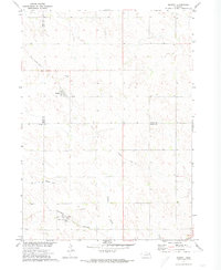
1971 · Magnet
USGS Topo · 1:24,000

1974 · Midland
USGS Topo · 1:24,000