Loading...
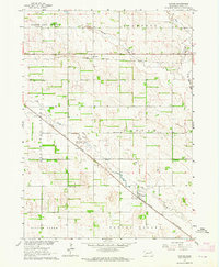
Loading map...1963 Map of Foster
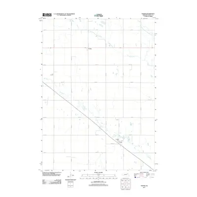
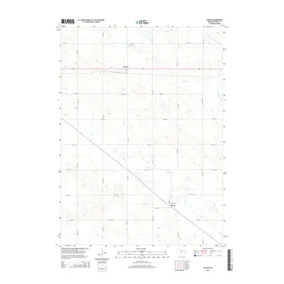
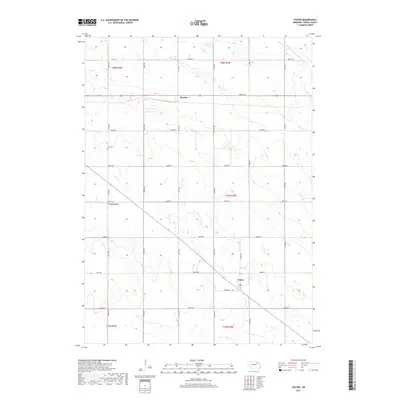
USGS Topo · Published 1964About this map
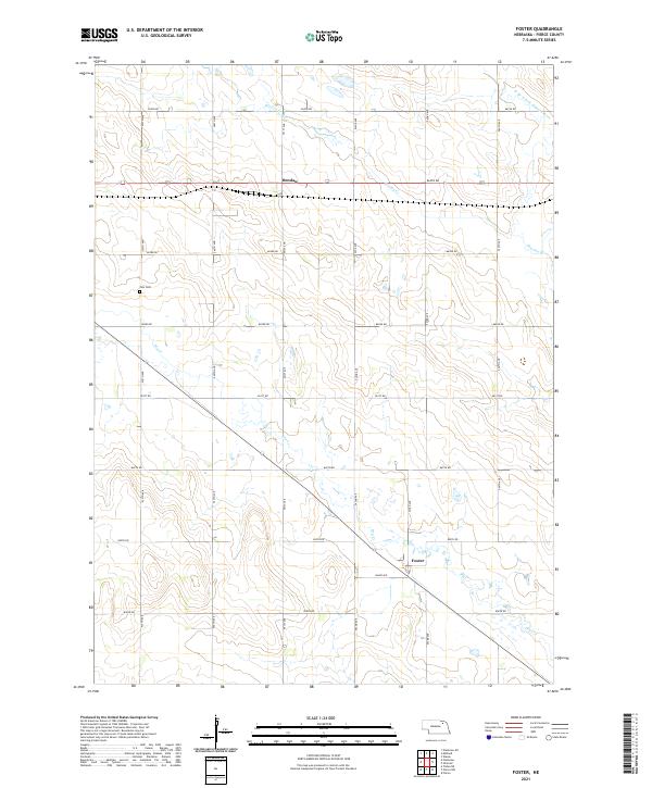
The agrarian landscape of Pierce County is defined here by a systematic grid of section roads and small-scale country schoolhouses. Two major rail lines intersect this territory, with the Chicago and North Western running diagonally through Foster, while the Chicago Burlington and Quincy corridor passes through the settlement of Breslau to the north. These rail routes provided the essential link between local grain producers and distant markets during the early 1960s.
Find a feature on this map
20 named features on this map. Tap any name to fly to it.
Don’t see what you’re looking for? This feature index may not catch every label — zoom into the map to look around manually.
Map Details
Date Portrayed1963
Date Published1964
PublisherU.S. Geological Survey
Map TypeTopographic
Scale1:24,000
Physical Dimensions22 x 26.8 inches
Editions of this 1963 Foster Map
This is the sole edition of this map. No revisions or reprints were ever made.
Historical Maps of Foster Through Time
5 maps found
Featured Locations
Source Details
SourceU.S. Geological Survey
CopyrightPublic Domain