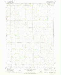
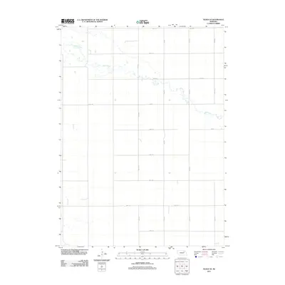
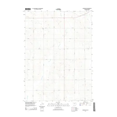
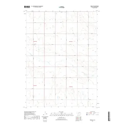
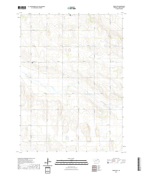
1963 Map of Pierce NW
USGS Topo · Published 1964About this map
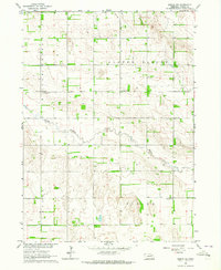
Clover Valley and the surrounding Pierce County landscape appear here during a period of steady agricultural use in the early 1960s. The terrain is characterized by the meandering path of Willow Creek, which carves through the central sections of the survey area. This map provides a detailed view of the rural educational and social infrastructure of the time, documenting the precise locations of several numbered country schools including School No 14 R, School No 26, and School No 40, alongside the named Tawney Sch. The distribution of these schoolhouses, paired with local landmarks like Trinity Cem and Lambrecht Cem, illustrates a settled prairie community organized around small, localized districts. Fine dashed lines across the townships indicate field and fence lines as they were visible from 1961 aerial photography, offering genealogists a rare look at property divisions during this era.
Find a feature on this map
11 named features on this map. Tap any name to fly to it.
Don’t see what you’re looking for? This feature index may not catch every label — zoom into the map to look around manually.
Map Details
Editions of this 1963 Pierce NW Map
This is the sole edition of this map. No revisions or reprints were ever made.
Historical Maps of Pierce County Through Time
25 maps found
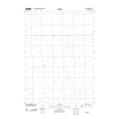
1963 Pierce NW
Pierce County, NE
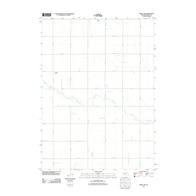
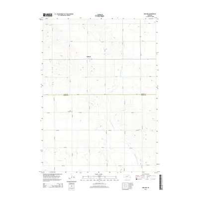
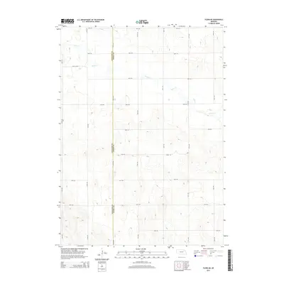
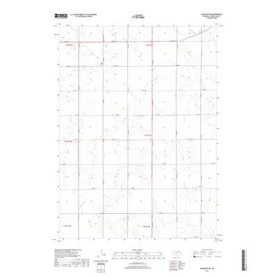
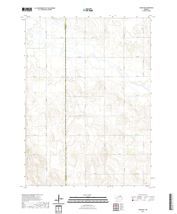
1963 Tilden NE
Pierce County, NE
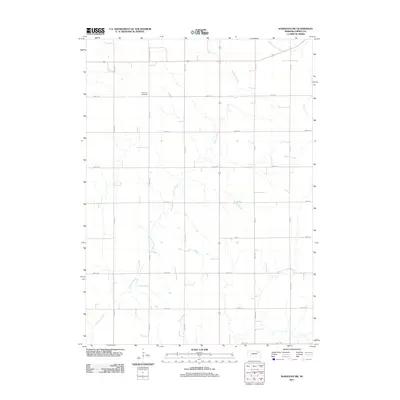
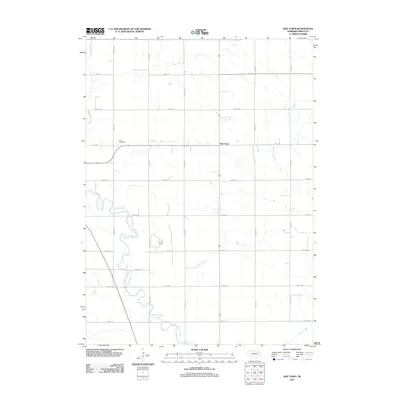
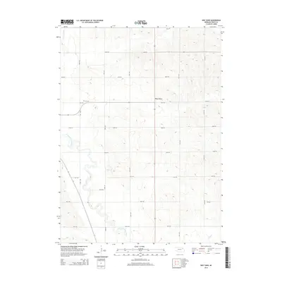
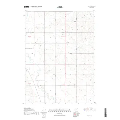
1963 Wee Town
Pierce County, NE
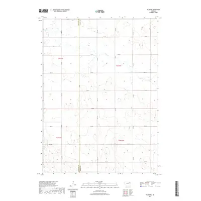
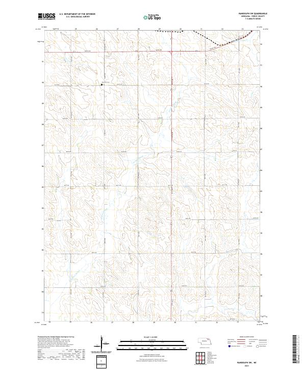
1971 Randolph SW
Pierce County, NE
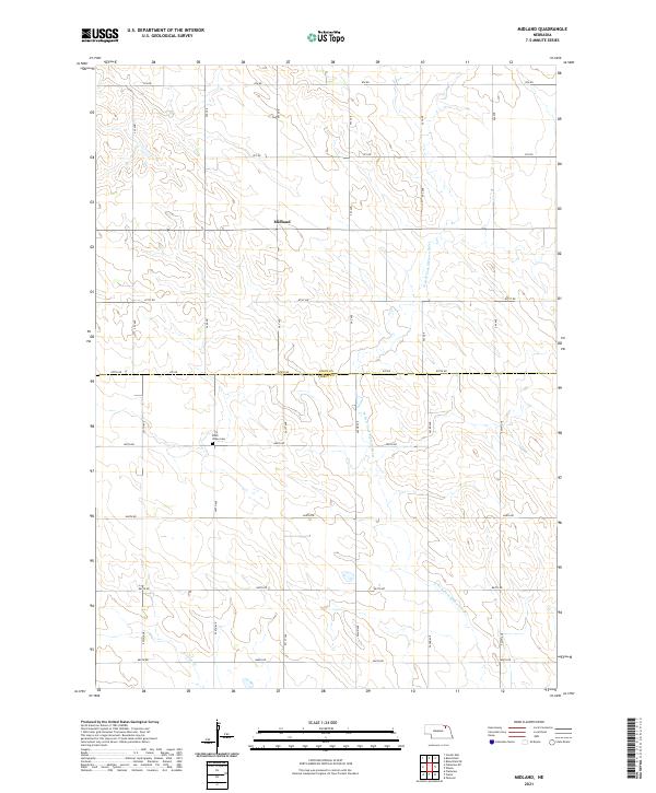
1974 Midland
Pierce County, NE
2011 Midland
Pierce County, NE
2011 Pierce NW
Pierce County, NE
2011 Randolph SW
Pierce County, NE
2011 Tilden NE
Pierce County, NE
2011 Wee Town
Pierce County, NE
2014 Midland
Pierce County, NE
2014 Pierce NW
Pierce County, NE
2014 Randolph SW
Pierce County, NE
2014 Tilden NE
Pierce County, NE
2014 Wee Town
Pierce County, NE
2017 Midland
Pierce County, NE
2017 Pierce NW
Pierce County, NE
2017 Randolph SW
Pierce County, NE
2017 Tilden NE
Pierce County, NE
2017 Wee Town
Pierce County, NE
2021 Midland
Pierce County, NE
2021 Pierce NW
Pierce County, NE
2021 Randolph SW
Pierce County, NE
2021 Tilden NE
Pierce County, NE
2021 Wee Town
Pierce County, NE