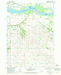
1968 Map of Menominee
USGS Topo · Published 1971About this map
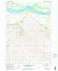
The Missouri River defines the border between Cedar County, Nebraska, and Yankton County, South Dakota, in this late 1960s survey. This particular stretch of the river is characterized by complex hydrological features like Rush Island and The Chute, showing a dynamic riparian landscape before modern channelization fully stabilized the banks. Inland, the rural character of Prec 1 and Prec 3 is marked by a network of small schoolhouses and religious landmarks that served the surrounding farmstead families. To the south, St Helena and its St Helena Chapel anchor the community near the bluffs, while Menominee sits further west near Antelope Creek. Local industry and infrastructure are represented by scattered Sandpits and the engineered drainage of Kaiser Ditch, reflecting the era's agricultural land management.
Find a feature on this map
26 named features on this map. Tap any name to fly to it.
Don’t see what you’re looking for? This feature index may not catch every label — zoom into the map to look around manually.
Map Details
Editions of this 1968 Menominee Map
2 editions found
Other maps of this area

1955 · Sioux City
USGS Topo · 1:250,000

1957 · Gayville
USGS Topo · 1:24,000

1957 · Mission Hill
USGS Topo · 1:24,000

1958 · Sioux City
USGS Topo · 1:250,000

1959 · Sioux City
USGS Topo · 1:250,000

1968 · St. Helena
USGS Topo · 1:24,000

1968 · Gavins Point Dam
USGS Topo · 1:24,000

1968 · Crofton
USGS Topo · 1:24,000

1968 · Wynot
USGS Topo · 1:24,000

1968 · Fordyce
USGS Topo · 1:24,000