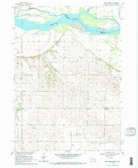
1968 Map of Menominee
USGS Topo · Published 1971About this map
The Missouri River and James River converge along the border of Nebraska and South Dakota, defining a landscape of braided channels and expansive floodplains. Near the northern edge, Rush Island sits as a significant landform within the Missouri, while Gayville overlooks the bottomlands from the South Dakota side. The terrain transitions from these low-lying river valleys into the rolling uplands of Nebraska, where a network of rural schools and small settlements reflects the mid-century agricultural character of Cedar County.
Find a feature on this map
24 named features on this map. Tap any name to fly to it.
Don’t see what you’re looking for? This feature index may not catch every label — zoom into the map to look around manually.
Map Details
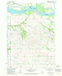
Editions of this 1968 Menominee Map
2 editions found
Other maps of this area

1955 · Sioux City
USGS Topo · 1:250,000

1957 · Gayville
USGS Topo · 1:24,000

1957 · Mission Hill
USGS Topo · 1:24,000

1958 · Sioux City
USGS Topo · 1:250,000

1959 · Sioux City
USGS Topo · 1:250,000

1968 · St. Helena
USGS Topo · 1:24,000

1968 · Gavins Point Dam
USGS Topo · 1:24,000

1968 · Crofton
USGS Topo · 1:24,000

1968 · Wynot
USGS Topo · 1:24,000

1968 · Fordyce
USGS Topo · 1:24,000