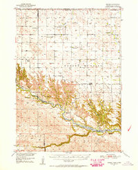
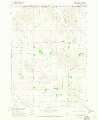
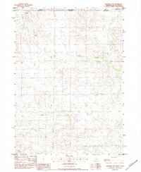
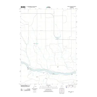
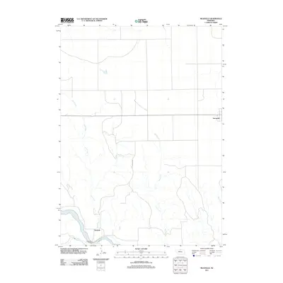
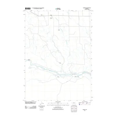
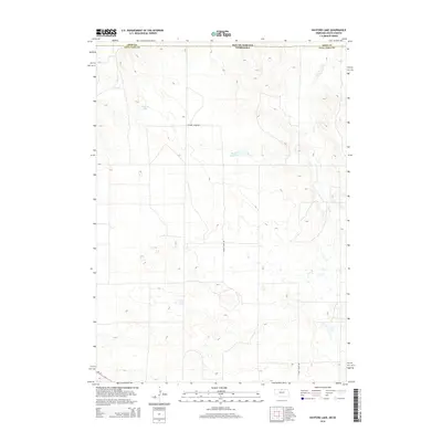
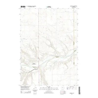
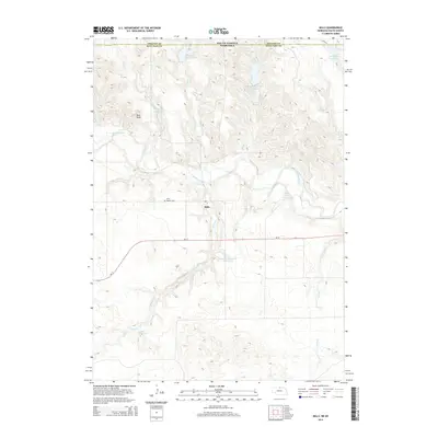
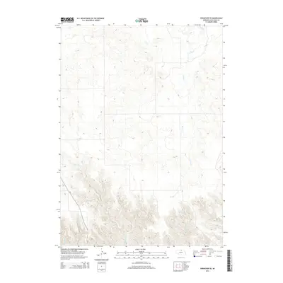
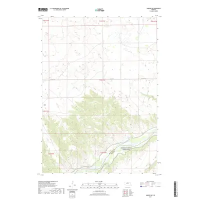
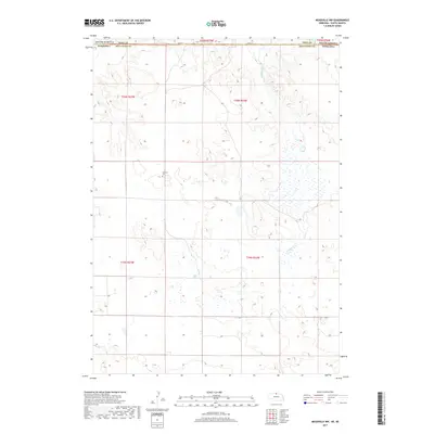
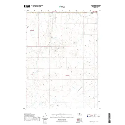
1949 Map of Jamison SW
USGS Topo · Published 1976About this map
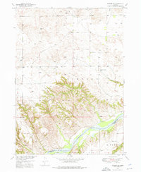
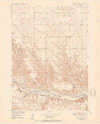
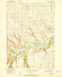
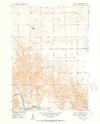
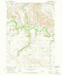
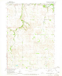
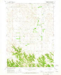
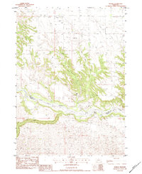
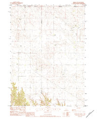
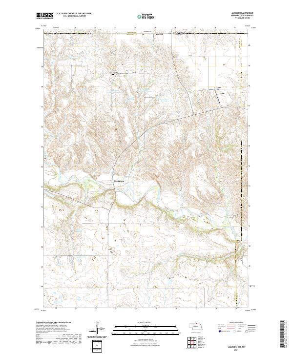
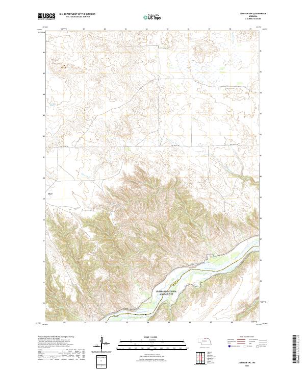
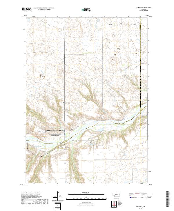
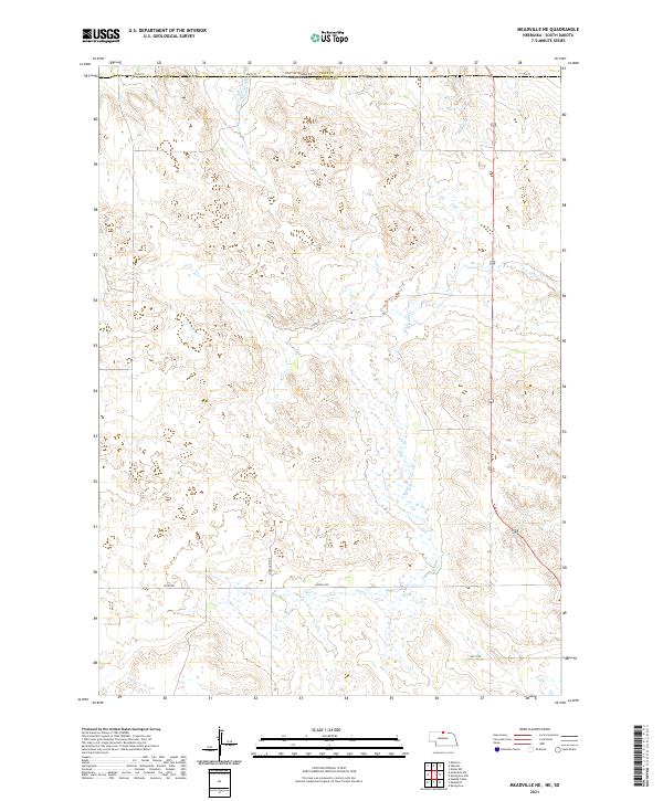
The Niobrara River winds through the southern reaches of this landscape, marking the border between Keya Paha and Rock counties. The terrain transitions from the upland plains of Simpson and Mills down into the deeply dissected breaks of the river valley. This mid-century landscape is defined by its rural infrastructure, where isolated schoolhouses like Bothwell Sch and Holton Sch served the surrounding ranching families. Water sources are vital landmarks here, from the steady flow of Big Anne Creek and Rock Creek to specific points like Big Anne Spring. The presence of Dyer near the river bluffs and scattered Windmill sites across the northern sections illustrates the persistent human effort to manage this arid Nebraska country before the era of modern center-pivot irrigation.
Find a feature on this map
15 named features on this map. Tap any name to fly to it.
Don’t see what you’re looking for? This feature index may not catch every label — zoom into the map to look around manually.
Map Details
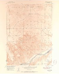
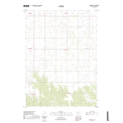
Editions of this 1949 Jamison SW Map
This is the sole edition of this map. No revisions or reprints were ever made.
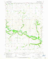
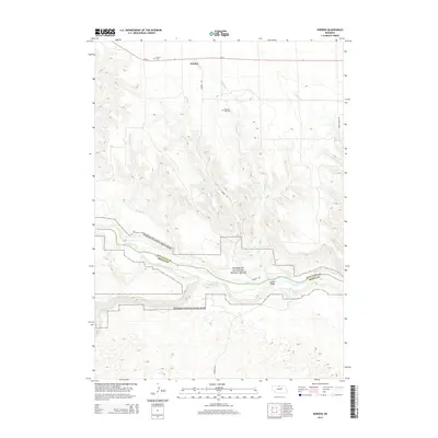
Historical Maps of Dyer Through Time
68 maps found
1949 Jamison SW
Keya Paha County, NE
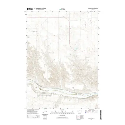
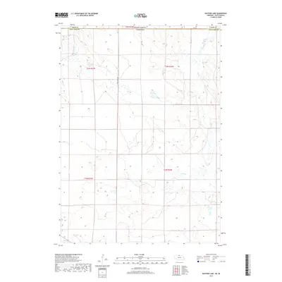
1950 Huddle Table
Keya Paha County, NE
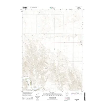
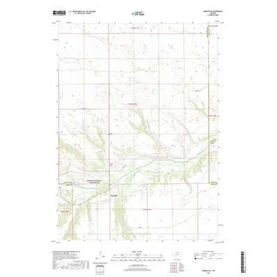
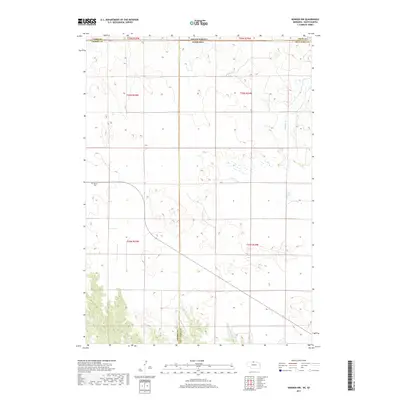
1950 Mariaville
Keya Paha County, NE
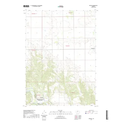
1950 Meadville
Keya Paha County, NE
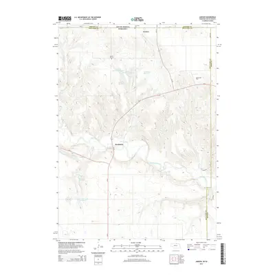
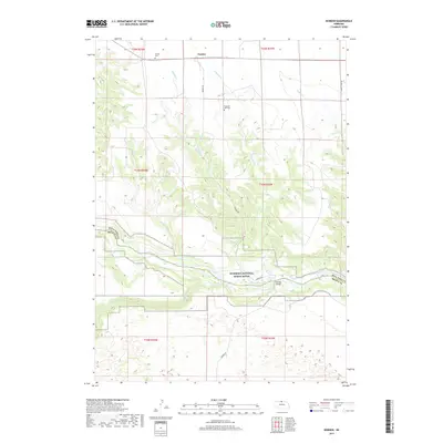
1950 Norden
Keya Paha County, NE
1951 Jamison SW
Keya Paha County, NE

1952 Norden
Keya Paha County, NE
1964 Jamison
Keya Paha County, NE
1964 Meadville NE
Keya Paha County, NE
1964 Meadville NW
Keya Paha County, NE
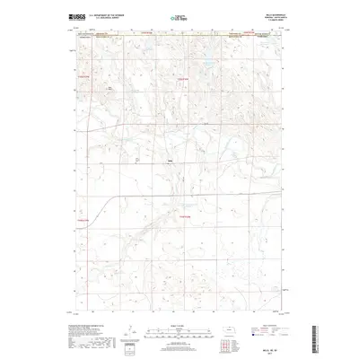
1964 Mills
Keya Paha County, NE
1964 Springview NW
Keya Paha County, NE
1964 Springview SE
Keya Paha County, NE
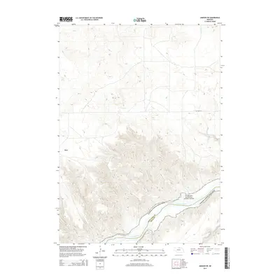
1983 Hayford Lake
Keya Paha County, NE
1983 Norden
Keya Paha County, NE
1983 Norden NW
Keya Paha County, NE
2011 Hayford Lake
Keya Paha County, NE
2011 Huddle Table
Keya Paha County, NE
2011 Jamison
Keya Paha County, NE
2011 Jamison SW
Keya Paha County, NE
2011 Mariaville
Keya Paha County, NE
2011 Meadville
Keya Paha County, NE
2011 Meadville NE
Keya Paha County, NE
2011 Meadville NW
Keya Paha County, NE
2011 Mills
Keya Paha County, NE
2011 Norden
Keya Paha County, NE
2011 Norden NW
Keya Paha County, NE
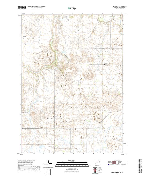
2011 Springview NW
Keya Paha County, NE
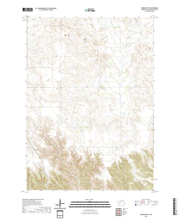
2011 Springview SE
Keya Paha County, NE
2014 Hayford Lake
Keya Paha County, NE
2014 Huddle Table
Keya Paha County, NE
2014 Jamison
Keya Paha County, NE
2014 Jamison SW
Keya Paha County, NE
2014 Mariaville
Keya Paha County, NE
2014 Meadville
Keya Paha County, NE
2014 Meadville NE
Keya Paha County, NE
2014 Meadville NW
Keya Paha County, NE
2014 Mills
Keya Paha County, NE
2014 Norden
Keya Paha County, NE
2014 Norden NW
Keya Paha County, NE
2014 Springview NW
Keya Paha County, NE
2014 Springview SE
Keya Paha County, NE
2017 Hayford Lake
Keya Paha County, NE
2017 Huddle Table
Keya Paha County, NE
2017 Jamison
Keya Paha County, NE
2017 Jamison SW
Keya Paha County, NE
2017 Mariaville
Keya Paha County, NE
2017 Meadville
Keya Paha County, NE
2017 Meadville NE
Keya Paha County, NE
2017 Meadville NW
Keya Paha County, NE
2017 Mills
Keya Paha County, NE
2017 Norden
Keya Paha County, NE
2017 Norden NW
Keya Paha County, NE
2017 Springview NW
Keya Paha County, NE
2017 Springview SE
Keya Paha County, NE
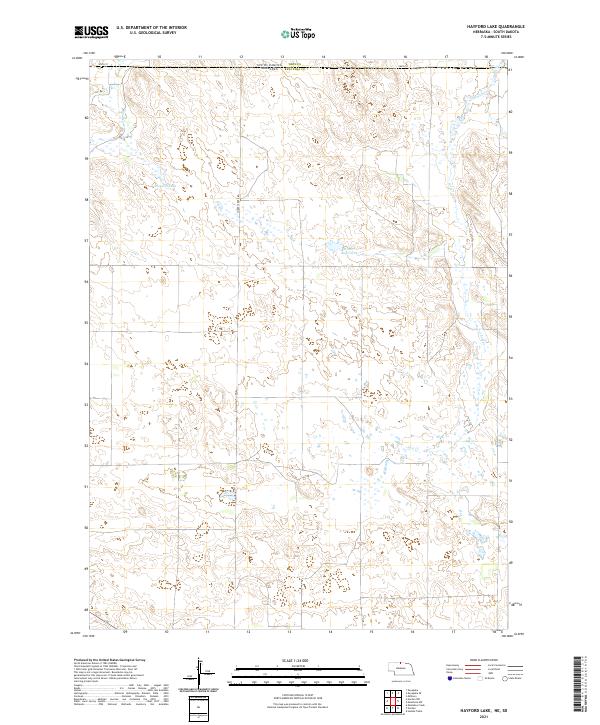
2021 Hayford Lake
Keya Paha County, NE
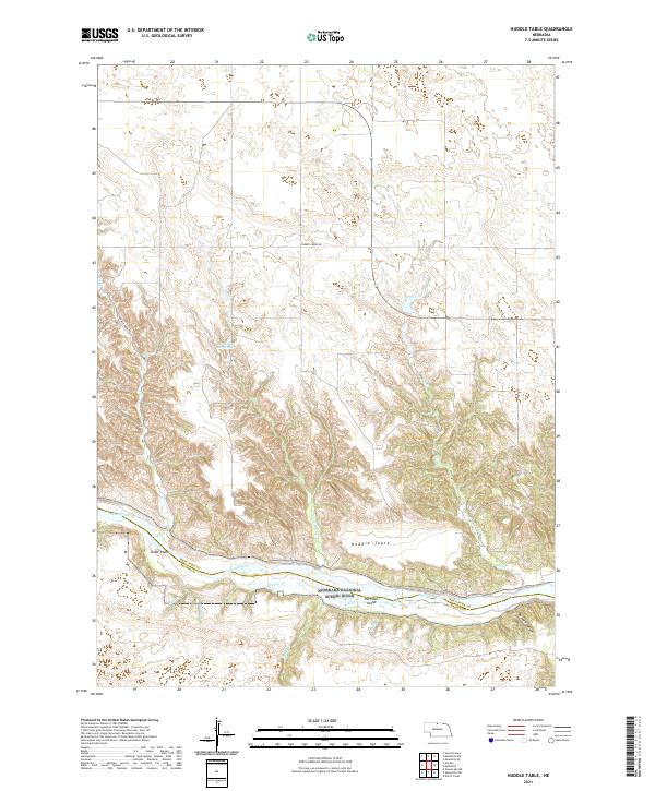
2021 Huddle Table
Keya Paha County, NE
2021 Jamison
Keya Paha County, NE
2021 Jamison SW
Keya Paha County, NE
2021 Mariaville
Keya Paha County, NE

2021 Meadville
Keya Paha County, NE
2021 Meadville NE
Keya Paha County, NE
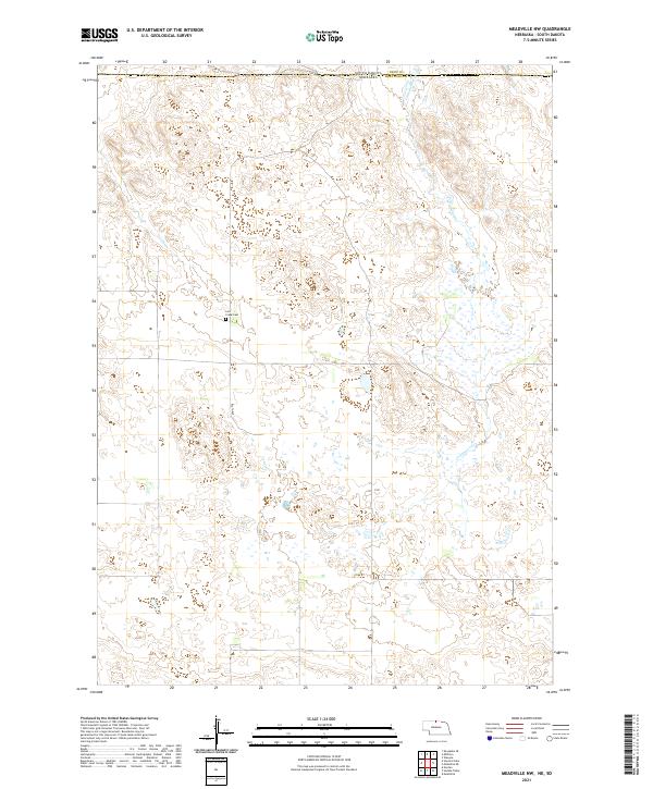
2021 Meadville NW
Keya Paha County, NE
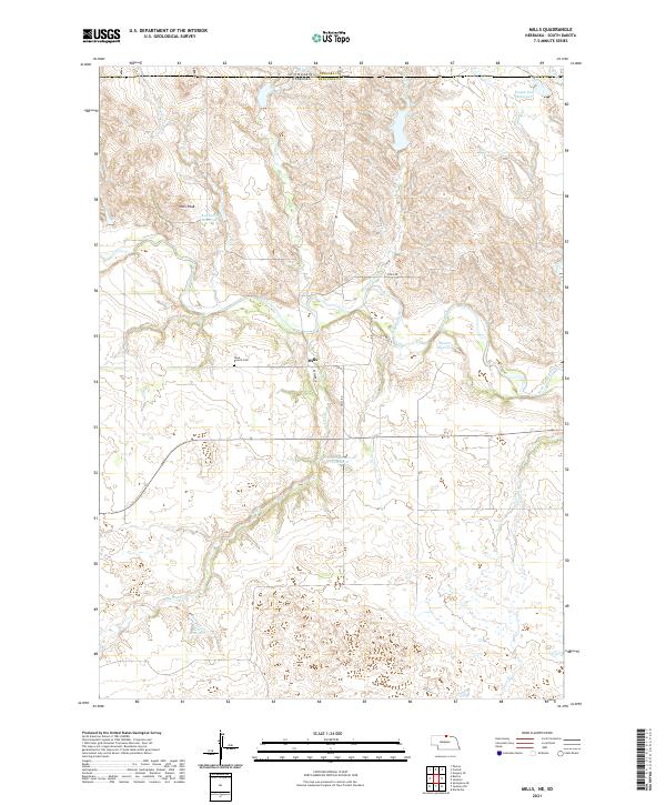
2021 Mills
Keya Paha County, NE
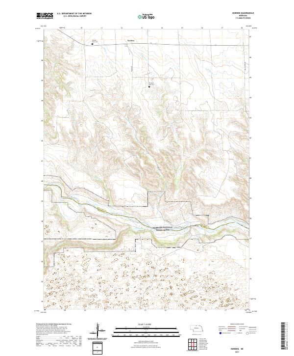
2021 Norden
Keya Paha County, NE
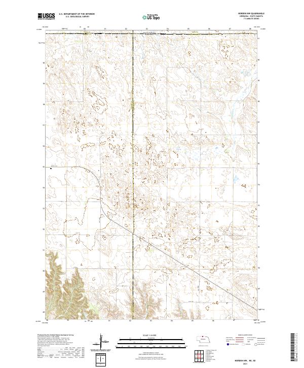
2021 Norden NW
Keya Paha County, NE
2021 Springview NW
Keya Paha County, NE
2021 Springview SE
Keya Paha County, NE