Loading...
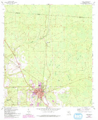
Loading map...2024 Map of Jasper
USGS Topo · Published 2024About this map
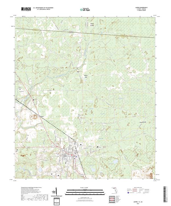
Jasper serves as the seat of government for Hamilton County, anchored by the Hamilton County Courthouse and the First Methodist Church. The landscape surrounding the town is defined by a complex network of wetlands and localized depressions, including Buzzard Bay, Schoolhouse Bay, and Hires Bay. To the north, the Little Alapaha River meanders toward the border between Georgia and Florida, passing through a region marked by small rural settlements like Bakers Mill and Rawls.
Find a feature on this map
88 named features on this map. Tap any name to fly to it.
Don’t see what you’re looking for? This feature index may not catch every label — zoom into the map to look around manually.
Map Details
Date Portrayed2024
Date Published2024
PublisherU.S. Geological Survey
Map TypeTopographic
Scale1:24000
Physical Dimensions24 x 29 inches
Editions of this 2024 Jasper Map
This is the sole edition of this map. No revisions or reprints were ever made.
Historical Maps of Kennedy Still Through Time
Featured Locations
Source Details
SourceU.S. Geological Survey
CopyrightPublic Domain