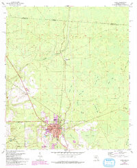
1955 Map of Jasper
USGS Topo · Published 1993About this map
The county seat of Jasper serves as the focal point of this North Florida landscape, where the town's core is marked by the Courthouse and a concentration of civic life including Lee High Sch and Evergreen Cem. Situated near the Georgia border, the area's drainage is defined by the Alapaha River and the Little Alapaha River, which meander through a series of cypress bays and ponds.
Find a feature on this map
33 named features on this map. Tap any name to fly to it.
Don’t see what you’re looking for? This feature index may not catch every label — zoom into the map to look around manually.
Map Details
Editions of this 1955 Jasper Map
3 editions found
Other maps of this area

1954 · Valdosta
USGS Topo · 1:250,000

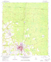
1955 · Jasper
USGS Topo · 1:24,000

1955 · Cypress Creek
USGS Topo · 1:24,000

1956 · Jennings
USGS Topo · 1:24,000

1958 · Valdosta
USGS Topo · 1:250,000

1958 · Fort Union
USGS Topo · 1:24,000

1959 · Valdosta
USGS Topo · 1:250,000

1961 · Hillcoat
USGS Topo · 1:24,000

1962 · Genoa
USGS Topo · 1:24,000

1971 · Tarver
USGS Topo · 1:24,000