
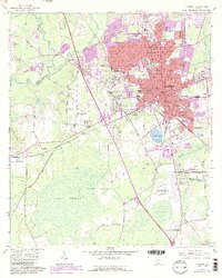
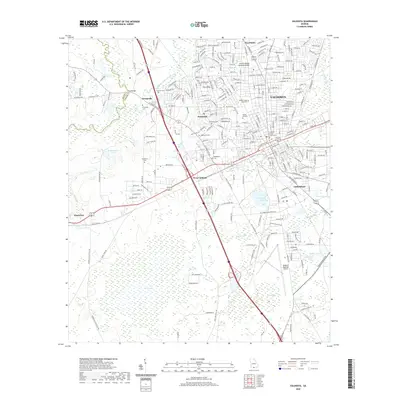
1958 Map of Valdosta
USGS Topo · Published 1958About this map
The Okefenokee Swamp dominates the eastern landscape of this South Georgia and North Florida border region, where the dark waters of the Suwannee River and the St Marys River originate. In the mid-1950s, this area functioned as a vital corridor for both timber and defense, anchored by Valdosta and the sprawling Moody Air Force Base. The map reveals a dense network of major transport routes including the Atlantic Coast Line and the Georgia Southern and Florida railroads, which facilitated the movement of goods between regional centers like Thomasville and Lake City.
Find a feature on this map
235 named features on this map. Tap any name to fly to it.
Don’t see what you’re looking for? This feature index may not catch every label — zoom into the map to look around manually.
Map Details
Editions of this 1958 Valdosta Map
This is the sole edition of this map. No revisions or reprints were ever made.
Historical Maps of Jacksonville Through Time
10 maps found

1954 Valdosta
Lowndes County, GA
1958 Valdosta
Lowndes County, GA

1959 Valdosta
Lowndes County, GA
1961 Valdosta
Lowndes County, GA

1981 Valdosta
Lowndes County, GA
2011 Valdosta
Lowndes County, GA
2014 Valdosta
Lowndes County, GA
2017 Valdosta
Lowndes County, GA
2020 Valdosta
Lowndes County, GA
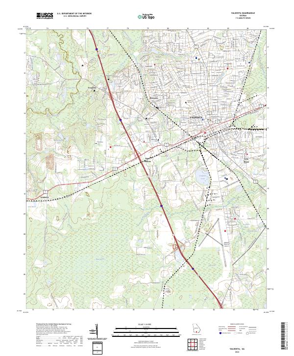
2024 Valdosta
Lowndes County, GA