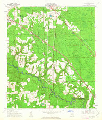
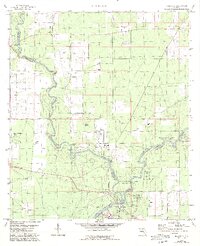
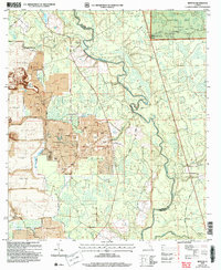
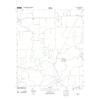
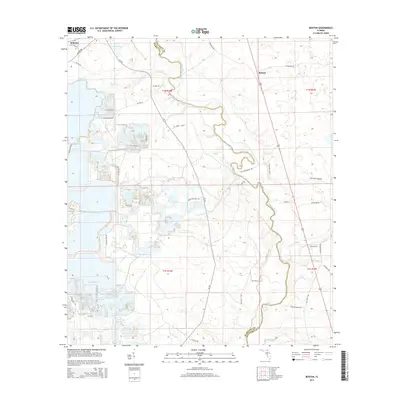
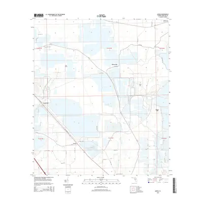
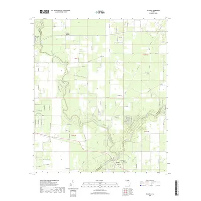
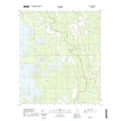
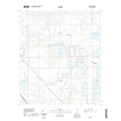
1961 Map of Hillcoat
USGS Topo · Published 1963About this map
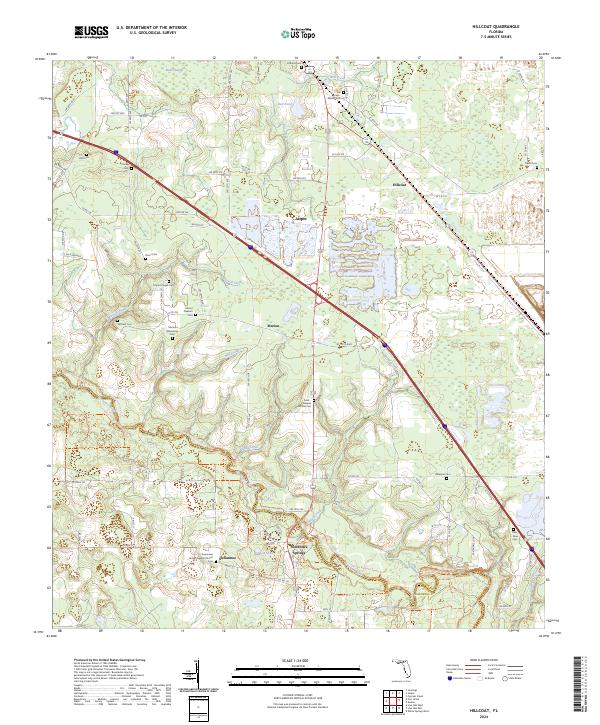
The Suwannee River carves a winding path across this north Florida landscape, marking the boundary between Hamilton and Suwannee Counties. Historically significant as a regional destination, Suwannee Springs is visible near the river's edge, supported by its own namesake Suwannee Springs Ch. The map captures a moment when timber and transport dictated the geography, evidenced by the convergence of the Atlantic Coast Line and the Georgia Southern and Florida railroads near Hillcoat.
Find a feature on this map
39 named features on this map. Tap any name to fly to it.
Don’t see what you’re looking for? This feature index may not catch every label — zoom into the map to look around manually.
Map Details
Editions of this 1961 Hillcoat Map
2 editions found
Historical Maps of Jasper Through Time
45 maps found
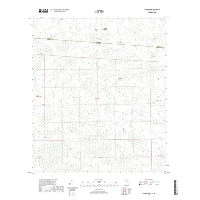
1955 Cypress Creek
Hamilton County, FL
1956 Octahatchee
Hamilton County, FL
1958 Fort Union
Hamilton County, FL
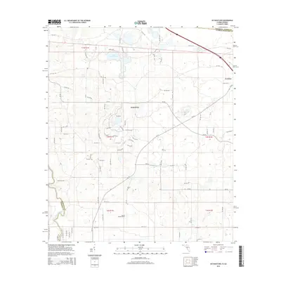
1959 Ellaville
Hamilton County, FL
1961 Hillcoat
Hamilton County, FL
1962 Genoa
Hamilton County, FL
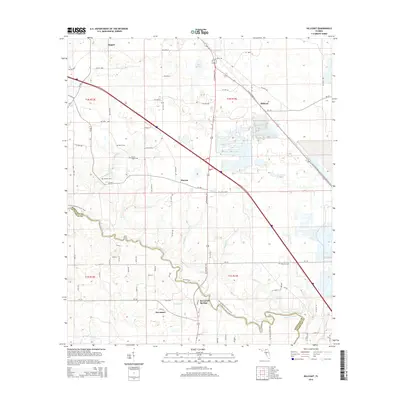
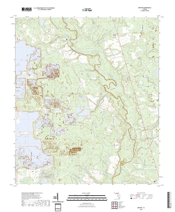
1969 Benton
Hamilton County, FL
2006 Benton
Hamilton County, FL
2011 Cypress Creek
Hamilton County, FL
2011 Octahatchee
Hamilton County, FL

2012 Benton
Hamilton County, FL
2012 Cypress Creek
Hamilton County, FL
2012 Ellaville
Hamilton County, FL
2012 Fort Union
Hamilton County, FL

2012 Genoa
Hamilton County, FL
2012 Hillcoat
Hamilton County, FL
2012 Octahatchee
Hamilton County, FL
2015 Benton
Hamilton County, FL
2015 Cypress Creek
Hamilton County, FL
2015 Ellaville
Hamilton County, FL
2015 Fort Union
Hamilton County, FL
2015 Genoa
Hamilton County, FL
2015 Hillcoat
Hamilton County, FL
2015 Octahatchee
Hamilton County, FL

2018 Benton
Hamilton County, FL
2018 Cypress Creek
Hamilton County, FL
2018 Ellaville
Hamilton County, FL
2018 Fort Union
Hamilton County, FL

2018 Genoa
Hamilton County, FL
2018 Hillcoat
Hamilton County, FL
2018 Octahatchee
Hamilton County, FL
2021 Benton
Hamilton County, FL
2021 Cypress Creek
Hamilton County, FL
2021 Ellaville
Hamilton County, FL
2021 Fort Union
Hamilton County, FL
2021 Genoa
Hamilton County, FL
2021 Hillcoat
Hamilton County, FL
2021 Octahatchee
Hamilton County, FL
2024 Benton
Hamilton County, FL
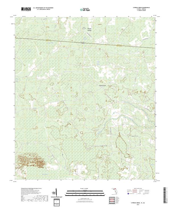
2024 Cypress Creek
Hamilton County, FL
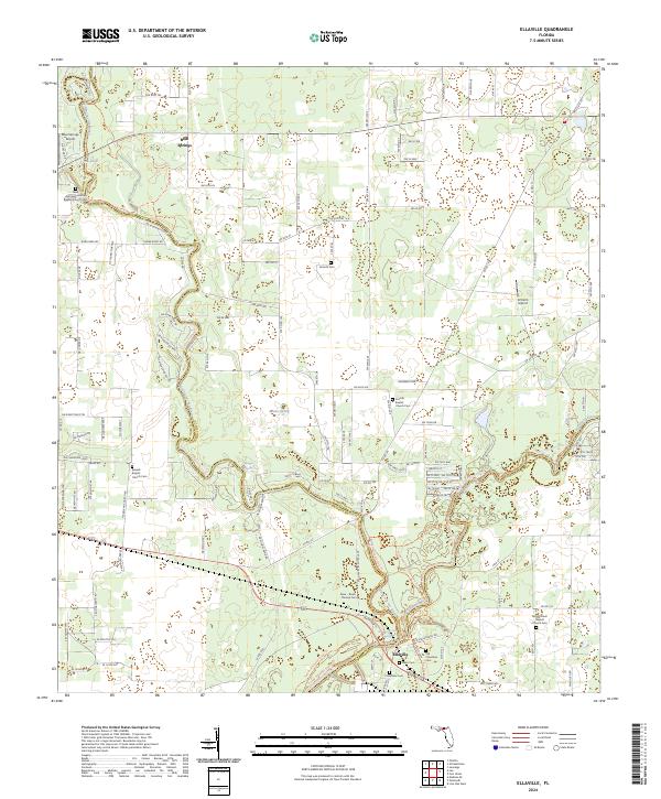
2024 Ellaville
Hamilton County, FL
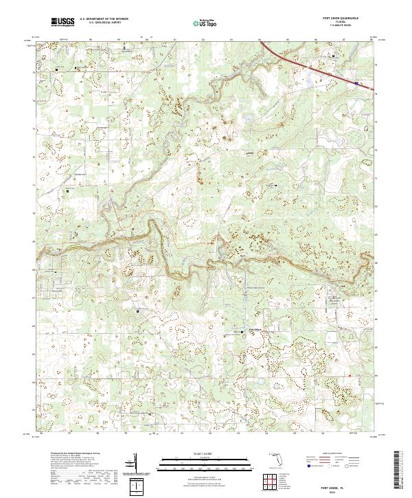
2024 Fort Union
Hamilton County, FL
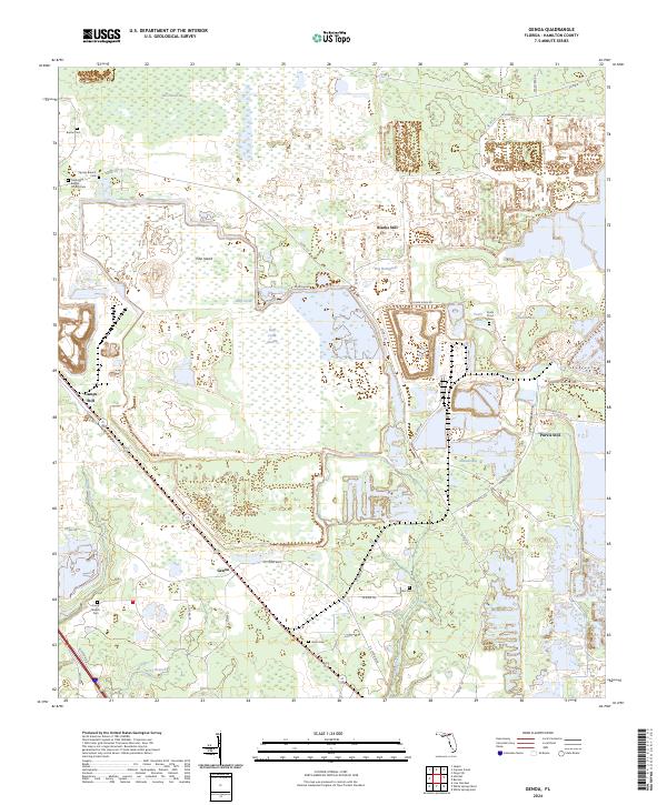
2024 Genoa
Hamilton County, FL
2024 Hillcoat
Hamilton County, FL
2024 Octahatchee
Hamilton County, FL