
1955 Map of Jasper
USGS Topo · Published 1956About this map
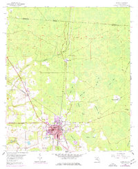
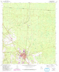
The regional hub of Jasper serves as the focal point of this mid-1950s survey, situated where the Atlantic Coast Line and Southern railroads intersect. The landscape is defined by its extensive wetland systems, including Basin Swamp and a series of named bays such as Bird Bay and Bee Haven Bay. The distribution of rural landmarks like Hebron Ch and New Bethel Ch alongside small clusters like Bakers Mill suggests a community structure still deeply tied to the land and timber industry. Cultural markers of the era are evident in the presence of a Drive-in Theater west of town and the centralized Courthouse at the heart of the settlement. To the east, Kennedy Still points toward the historical naval stores industry that once dominated this section of the Florida-Georgia borderlands near the Alapaha River.
Find a feature on this map
42 named features on this map. Tap any name to fly to it.
Don’t see what you’re looking for? This feature index may not catch every label — zoom into the map to look around manually.
Map Details
Editions of this 1955 Jasper Map
3 editions found
Other maps of this area

1954 · Valdosta
USGS Topo · 1:250,000

1955 · Cypress Creek
USGS Topo · 1:24,000

1956 · Jennings
USGS Topo · 1:24,000

1958 · Valdosta
USGS Topo · 1:250,000

1958 · Fort Union
USGS Topo · 1:24,000

1959 · Valdosta
USGS Topo · 1:250,000

1961 · Hillcoat
USGS Topo · 1:24,000

1962 · Genoa
USGS Topo · 1:24,000

1971 · Tarver
USGS Topo · 1:24,000
1971 · Pineland
USGS Topo · 1:24,000