
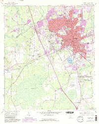
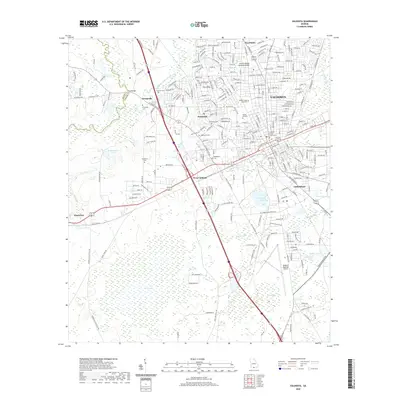
1959 Map of Valdosta
USGS Topo · Published 1959About this map
The vast Okefenokee Swamp dominates the eastern half of this 1950s survey, showing a network of remote interior landmarks like Billys Island, Floyds Island, and Chesser Island. To the west, the regional hub of Valdosta is depicted during a period of mid-century growth, flanked by the operations at Moody Air Force Base and the crossroads at Quitman. The landscape is defined by the drainage basins of the Withlacoochee River, Alapaha River, and the iconic Suwannee River, which flows south into Florida.
Find a feature on this map
188 named features on this map. Tap any name to fly to it.
Don’t see what you’re looking for? This feature index may not catch every label — zoom into the map to look around manually.
Map Details
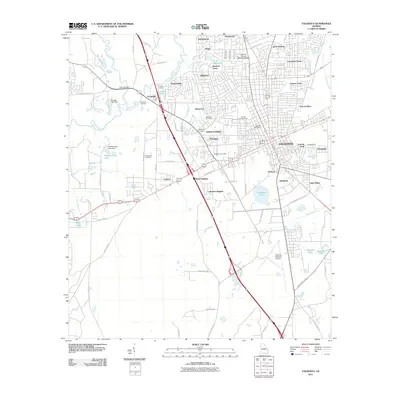
Editions of this 1959 Valdosta Map
This is the sole edition of this map. No revisions or reprints were ever made.
Historical Maps of Jacksonville Through Time
10 maps found

1954 Valdosta
Lowndes County, GA

1958 Valdosta
Lowndes County, GA
1959 Valdosta
Lowndes County, GA
1961 Valdosta
Lowndes County, GA

1981 Valdosta
Lowndes County, GA
2011 Valdosta
Lowndes County, GA
2014 Valdosta
Lowndes County, GA
2017 Valdosta
Lowndes County, GA
2020 Valdosta
Lowndes County, GA
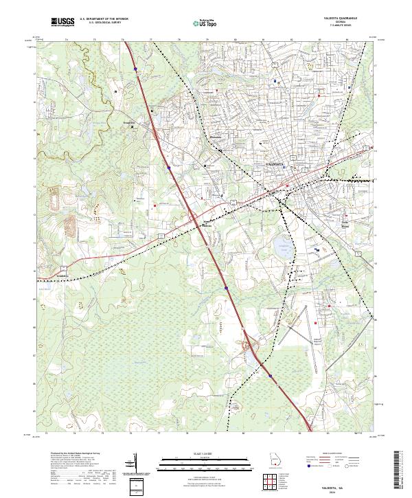
2024 Valdosta
Lowndes County, GA