
1971 Map of Tarver
USGS Topo · Published 1976About this map
Beaverdam Bay and the surrounding wetlands of Echols County define this landscape, as captured in a 1970 orthophotomap. This specialized view combines aerial imagery with topographic data, revealing the dense interplay of water and timberland along the Seaboard Coast Line Railroad. Small settlements like Tarver, Alexis, and Potter sit near the rail line, which served as a primary artery through this southern Georgia corridor.
Find a feature on this map
15 named features on this map. Tap any name to fly to it.
Don’t see what you’re looking for? This feature index may not catch every label — zoom into the map to look around manually.
Map Details
Editions of this 1971 Tarver Map
This is the sole edition of this map. No revisions or reprints were ever made.
Other maps of this area

1954 · Valdosta
USGS Topo · 1:250,000

1955 · Jasper
USGS Topo · 1:24,000

1955 · Cypress Creek
USGS Topo · 1:24,000

1956 · Jennings
USGS Topo · 1:24,000

1958 · Valdosta
USGS Topo · 1:250,000

1959 · Valdosta
USGS Topo · 1:250,000

1971 · Thelma
USGS Topo · 1:24,000

1971 · Howell
USGS Topo · 1:24,000
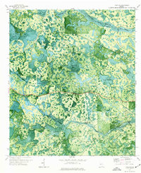
1971 · Pineland
USGS Topo · 1:24,000
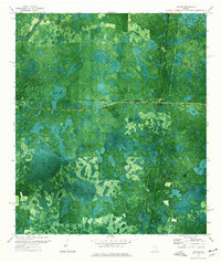
1971 · Haylow
USGS Topo · 1:24,000