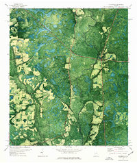
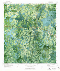
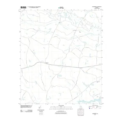
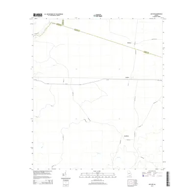
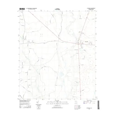
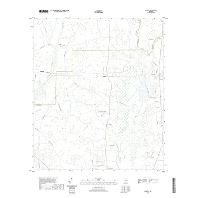
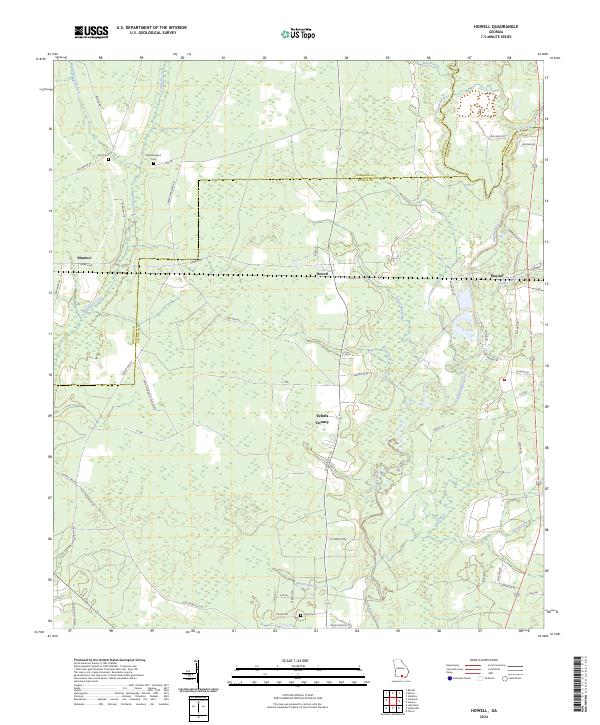
1971 Map of Howell
USGS Topo · Published 1976About this map
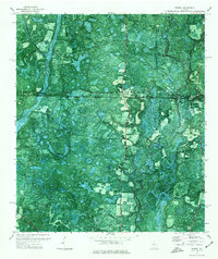
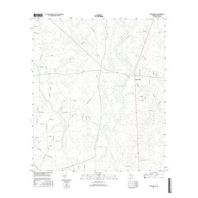
Howell and the surrounding piney lowlands of the Georgia coastal plain are documented in this 1970s orthophotomap, which layers topographic data over aerial photography. The Georgia Southern and Florida Railway bisects the landscape, serving the small settlements of Blanton and Mayhaw. This transit corridor is the primary structural element in a region defined by extensive wetlands and drainage systems, including the serpentine Alapaha River on the eastern edge and Grand Bay Creek to the west.
Find a feature on this map
16 named features on this map. Tap any name to fly to it.
Don’t see what you’re looking for? This feature index may not catch every label — zoom into the map to look around manually.
Map Details
Editions of this 1971 Howell Map
This is the sole edition of this map. No revisions or reprints were ever made.
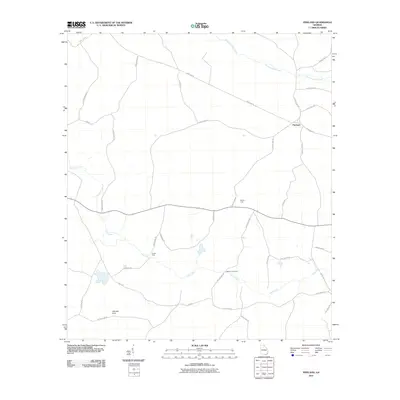
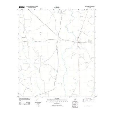
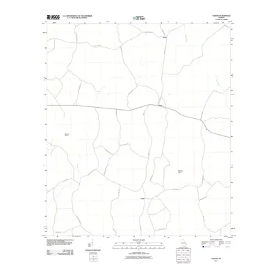
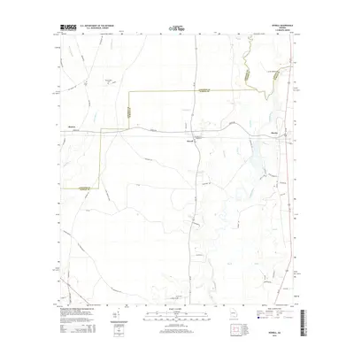
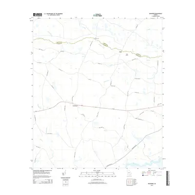
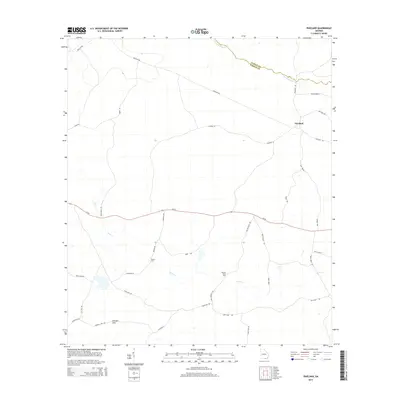
Historical Maps of Blanton Through Time
36 maps found
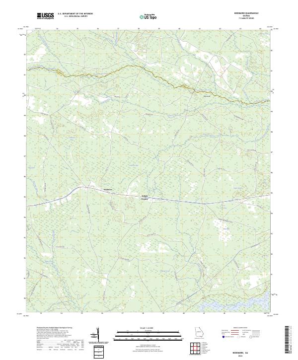
1968 Needmore
Echols County, GA
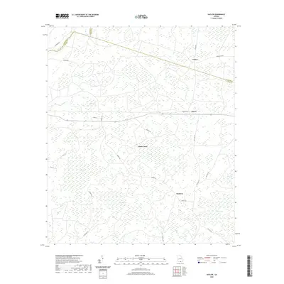
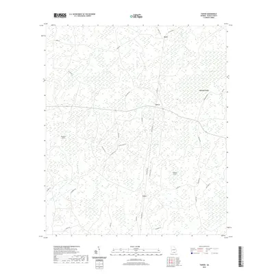
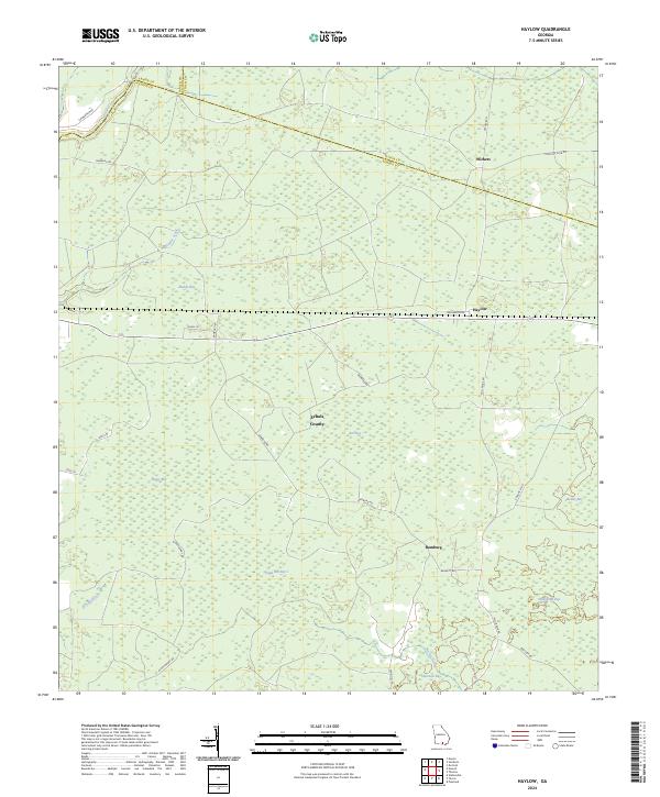
1971 Haylow
Echols County, GA
1971 Howell
Echols County, GA
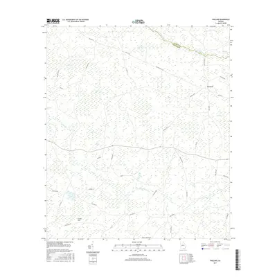
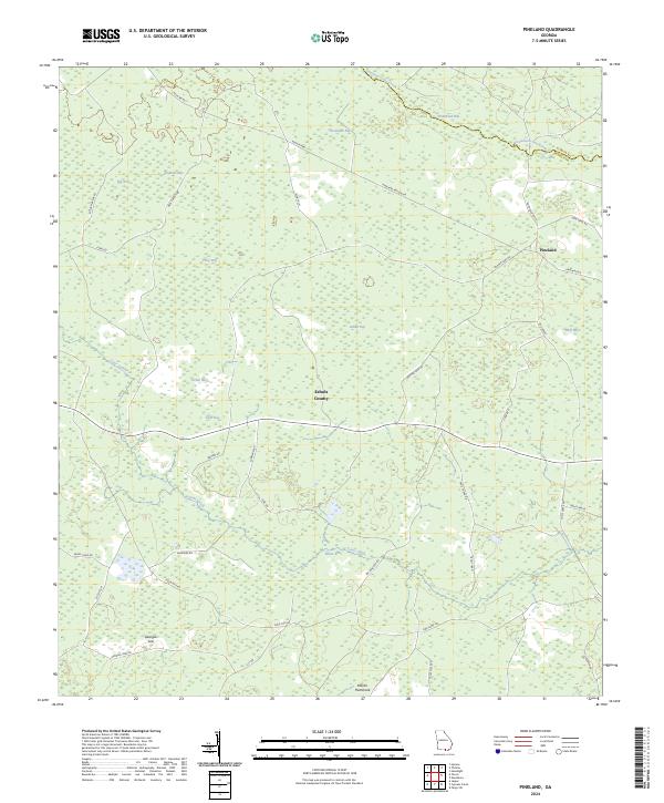
1971 Pineland
Echols County, GA
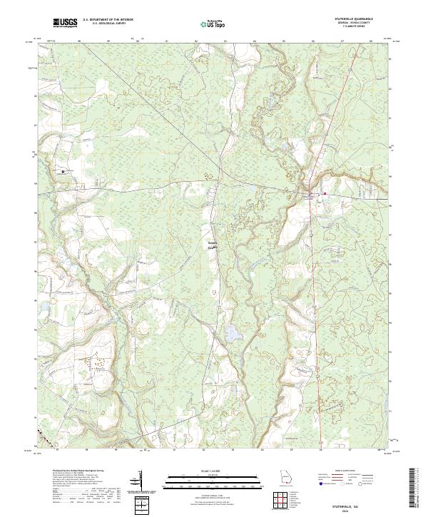
1971 Statenville
Echols County, GA
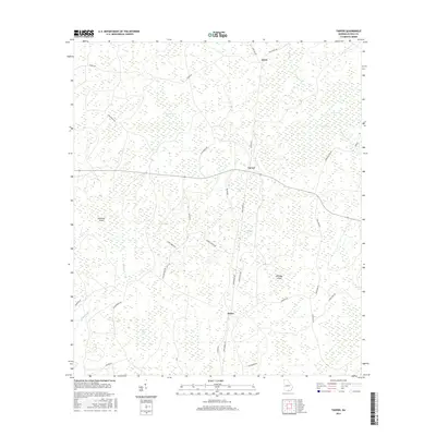
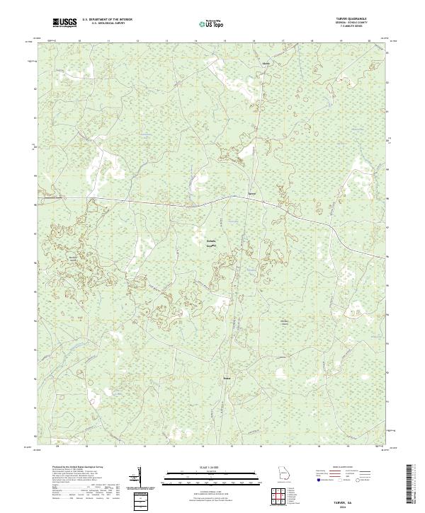
1971 Tarver
Echols County, GA
2011 Haylow
Echols County, GA
2011 Howell
Echols County, GA
2011 Needmore
Echols County, GA
2011 Pineland
Echols County, GA
2011 Statenville
Echols County, GA
2011 Tarver
Echols County, GA
2014 Haylow
Echols County, GA
2014 Howell
Echols County, GA
2014 Needmore
Echols County, GA
2014 Pineland
Echols County, GA
2014 Statenville
Echols County, GA
2014 Tarver
Echols County, GA
2017 Haylow
Echols County, GA
2017 Howell
Echols County, GA

2017 Needmore
Echols County, GA
2017 Pineland
Echols County, GA
2017 Statenville
Echols County, GA
2017 Tarver
Echols County, GA
2020 Haylow
Echols County, GA
2020 Howell
Echols County, GA
2020 Needmore
Echols County, GA
2020 Pineland
Echols County, GA
2020 Statenville
Echols County, GA
2020 Tarver
Echols County, GA
2024 Haylow
Echols County, GA
2024 Howell
Echols County, GA
2024 Needmore
Echols County, GA
2024 Pineland
Echols County, GA
2024 Statenville
Echols County, GA
2024 Tarver
Echols County, GA