
1956 Map of Jennings
USGS Topo · Published 1957About this map
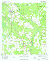
The Alapaha River and the Apalahoochee River converge just south of the Georgia border, defining a landscape of wetlands and winding waterways in the mid-1950s. The town of Jennings serves as the primary settlement, positioned along the Southern railroad line as it cuts diagonally across the county. This survey illustrates a rural community organized around water access and rail transport, with the Watson Line marking historical property divisions through the river bottomlands.
Find a feature on this map
20 named features on this map. Tap any name to fly to it.
Don’t see what you’re looking for? This feature index may not catch every label — zoom into the map to look around manually.
Map Details
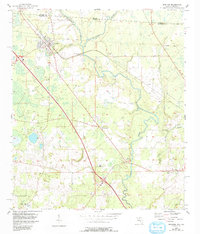
Editions of this 1956 Jennings Map
3 editions found
Other maps of this area

1954 · Valdosta
USGS Topo · 1:250,000

1955 · Jasper
USGS Topo · 1:24,000

1956 · Octahatchee
USGS Topo · 1:24,000

1958 · Valdosta
USGS Topo · 1:250,000

1958 · Fort Union
USGS Topo · 1:24,000

1959 · Valdosta
USGS Topo · 1:250,000

1959 · Ellaville
USGS Topo · 1:24,000

1961 · Hillcoat
USGS Topo · 1:24,000

1971 · Lake Park
USGS Topo · 1:24,000

1971 · Tarver
USGS Topo · 1:24,000