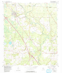
1956 Map of Jennings
USGS Topo · Published 1993About this map
The Alapaha River snakes through the borderlands of Hamilton County and Georgia, defining a landscape of low-lying wetlands and river crossings in the mid-1950s. The town of Jennings serves as the primary hub, situated near the intersection of rail lines and early highway routes. Further south and east, the map reveals the rural infrastructure of the era, from the Alapaha Lookout Tower to riverfront sites like Sasser Landing.
Find a feature on this map
20 named features on this map. Tap any name to fly to it.
Don’t see what you’re looking for? This feature index may not catch every label — zoom into the map to look around manually.
Map Details
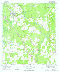
Editions of this 1956 Jennings Map
3 editions found
Other maps of this area

1954 · Valdosta
USGS Topo · 1:250,000

1955 · Jasper
USGS Topo · 1:24,000

1956 · Jennings
USGS Topo · 1:24,000

1956 · Octahatchee
USGS Topo · 1:24,000

1958 · Valdosta
USGS Topo · 1:250,000

1958 · Fort Union
USGS Topo · 1:24,000

1959 · Valdosta
USGS Topo · 1:250,000

1959 · Ellaville
USGS Topo · 1:24,000

1961 · Hillcoat
USGS Topo · 1:24,000

1971 · Lake Park
USGS Topo · 1:24,000