
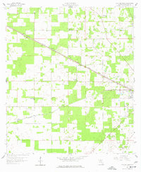
1959 Map of Live Oak West
USGS Topo · Published 1960About this map
The Seaboard Air Line and Southern railway corridors define the rural landscape of Suwannee County in the late 1950s, converging toward the regional hub of Live Oak. This agricultural territory is dotted with small community landmarks and family heritage sites, including the Delaware Cem and a cluster of local congregations such as Mt Olive Ch and Oak Grove Ch.
Find a feature on this map
20 named features on this map. Tap any name to fly to it.
Don’t see what you’re looking for? This feature index may not catch every label — zoom into the map to look around manually.
Map Details
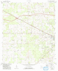
Editions of this 1959 Live Oak West Map
3 editions found
Other maps of this area

1954 · Dowling Park
USGS Topo · 1:24,000

1954 · Valdosta
USGS Topo · 1:250,000

1955 · Mayo NE
USGS Topo · 1:24,000

1958 · Valdosta
USGS Topo · 1:250,000

1958 · Fort Union
USGS Topo · 1:24,000

1959 · Valdosta
USGS Topo · 1:250,000

1959 · Ellaville
USGS Topo · 1:24,000

1959 · Falmouth
USGS Topo · 1:24,000

1961 · Live Oak East
USGS Topo · 1:24,000

1961 · Hillcoat
USGS Topo · 1:24,000