
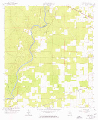
1959 Map of Falmouth
USGS Topo · Published 1960About this map
The Suwannee River snakes through this North Florida landscape, marking the boundary between Madison and Suwannee counties. During the mid-twentieth century, this region remained predominantly rural and forested, punctuated by small communities like Falmouth and Newburn. Local navigation and commerce relied on the rail lines of the Seaboard Air Line and the Southern railroad, which intersected the terrain. Several natural springs, including Falmouth Spring and Anderson Spring, dot the river's path, highlighting the unique hydrogeology of the area.
Find a feature on this map
18 named features on this map. Tap any name to fly to it.
Don’t see what you’re looking for? This feature index may not catch every label — zoom into the map to look around manually.
Map Details
Editions of this 1959 Falmouth Map
3 editions found
Other maps of this area

1954 · Day
USGS Topo · 1:24,000

1954 · Dowling Park
USGS Topo · 1:24,000

1954 · Valdosta
USGS Topo · 1:250,000

1955 · Mayo NE
USGS Topo · 1:24,000

1958 · Valdosta
USGS Topo · 1:250,000

1958 · Fort Union
USGS Topo · 1:24,000

1958 · Madison SE
USGS Topo · 1:24,000

1958 · Lee
USGS Topo · 1:24,000

1959 · Valdosta
USGS Topo · 1:250,000

1959 · Ellaville
USGS Topo · 1:24,000