
1958 Map of Lee
USGS Topo · Published 1960About this map
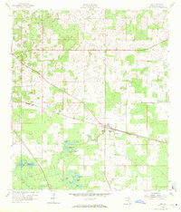
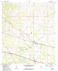
Lee and the surrounding timberland of Madison County define this late 1950s landscape, where the Seaboard railroad cuts a diagonal line through the pine-dotted terrain. This era shows a settled agricultural and forestry-based community anchored by rural institutions like the Macedonia Ch and Jr High Sch. The topography is uniquely marked by karst features, including the Lee Sink and Campbell Sink, alongside a series of small, isolated water bodies such as Burnette Pond and Sand Pond. Family and community history is etched into the landscape through small burial grounds like Brady Cem and Hays Cem, located along the quiet crossroads and rail sidings of West Farm.
Find a feature on this map
26 named features on this map. Tap any name to fly to it.
Don’t see what you’re looking for? This feature index may not catch every label — zoom into the map to look around manually.
Map Details
Editions of this 1958 Lee Map
3 editions found
Other maps of this area

1954 · Valdosta
USGS Topo · 1:250,000

1956 · Octahatchee
USGS Topo · 1:24,000

1958 · Valdosta
USGS Topo · 1:250,000

1958 · Madison SW
USGS Topo · 1:24,000

1958 · Madison SE
USGS Topo · 1:24,000

1959 · Valdosta
USGS Topo · 1:250,000

1959 · Madison
USGS Topo · 1:24,000

1959 · Ellaville
USGS Topo · 1:24,000

1959 · Falmouth
USGS Topo · 1:24,000

1960 · Cherry Lake
USGS Topo · 1:24,000