
1960 Map of Cherry Lake
USGS Topo · Published 1961About this map
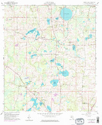
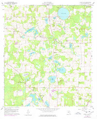
Cherry Lake and its surrounding wetlands anchor this northern Florida landscape just south of the Georgia State Line. By the early 1960s, the area supported a network of rural institutions, including the Cherry Lake 4-H Camp and local schools like Cherry Lake Sch and Lime Sink Sch. The map reveals a high concentration of water features typical of the region's karst topography, ranging from the large open water of the lake to smaller basins like Ocean Hole, Florid Pond, and Lime Sink.
Find a feature on this map
40 named features on this map. Tap any name to fly to it.
Don’t see what you’re looking for? This feature index may not catch every label — zoom into the map to look around manually.
Map Details
Editions of this 1960 Cherry Lake Map
3 editions found
Other maps of this area

1954 · Greenville NE
USGS Topo · 1:24,000

1954 · Valdosta
USGS Topo · 1:250,000

1956 · Clyattville
USGS Topo · 1:24,000

1956 · Nankin
USGS Topo · 1:24,000

1956 · Baden
USGS Topo · 1:24,000

1958 · Valdosta
USGS Topo · 1:250,000

1958 · Lee
USGS Topo · 1:24,000

1959 · Valdosta
USGS Topo · 1:250,000

1959 · Madison
USGS Topo · 1:24,000

1960 · Pinetta
USGS Topo · 1:24,000