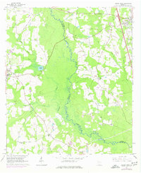
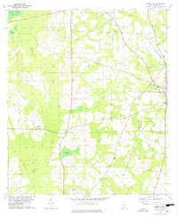
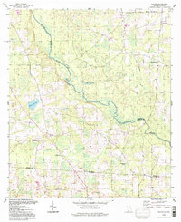
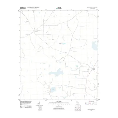
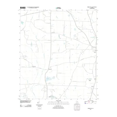
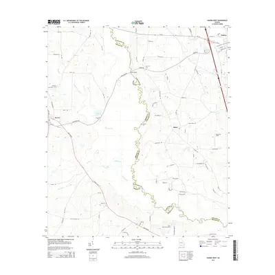
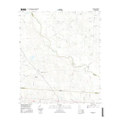
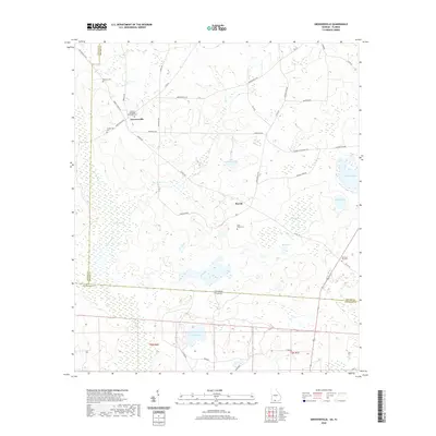
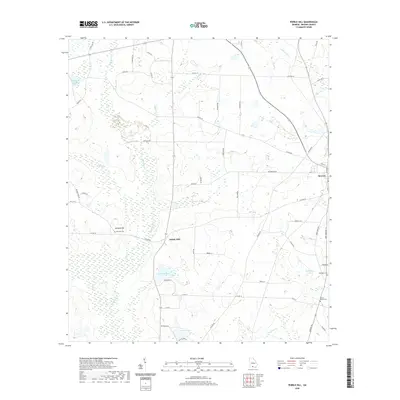
1956 Map of Nankin
USGS Topo · Published 1957About this map
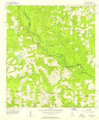
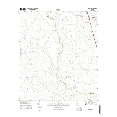
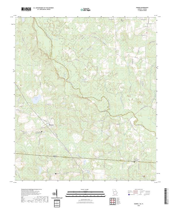
The Withlacoochee River carves a winding path through this mid-century landscape, serving as a natural boundary between Lowndes and Brooks counties. Settlement is characterized by scattered rural communities and a high density of country churches, including Elam Ch, Beulah Ch, and Columbia Ch, which often anchored local social life. Near the small settlement of Nankin, the terrain is punctuated by small water bodies like Mud Lake, Montgomery Pond, and Fearnside Lake, interspersed with a Gravel Pit reflecting local extractive activity.
Find a feature on this map
21 named features on this map. Tap any name to fly to it.
Don’t see what you’re looking for? This feature index may not catch every label — zoom into the map to look around manually.
Map Details
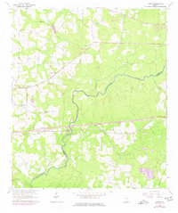
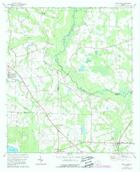
Editions of this 1956 Nankin Map
2 editions found
Historical Maps of Nankin Through Time
44 maps found
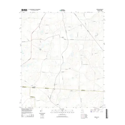
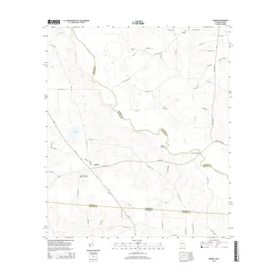
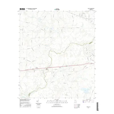
1956 Baden
Brooks County, GA
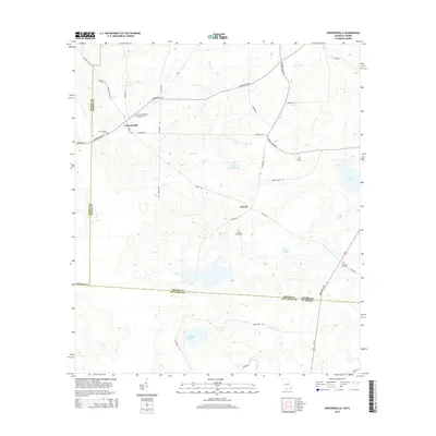
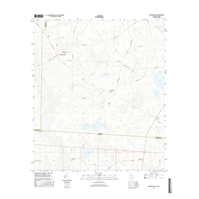
1956 Grooverville
Brooks County, GA
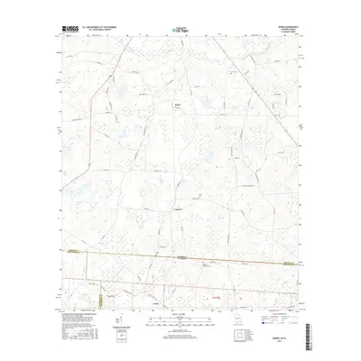
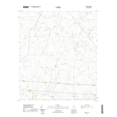
1956 Nankin
Brooks County, GA
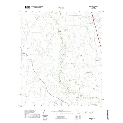
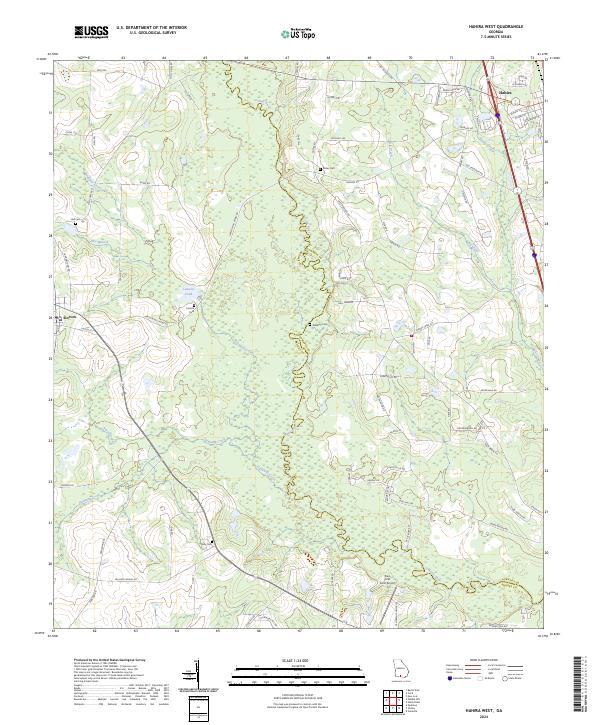
1961 Hahira West
Brooks County, GA
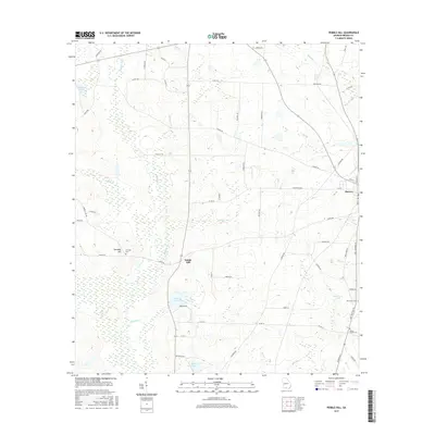
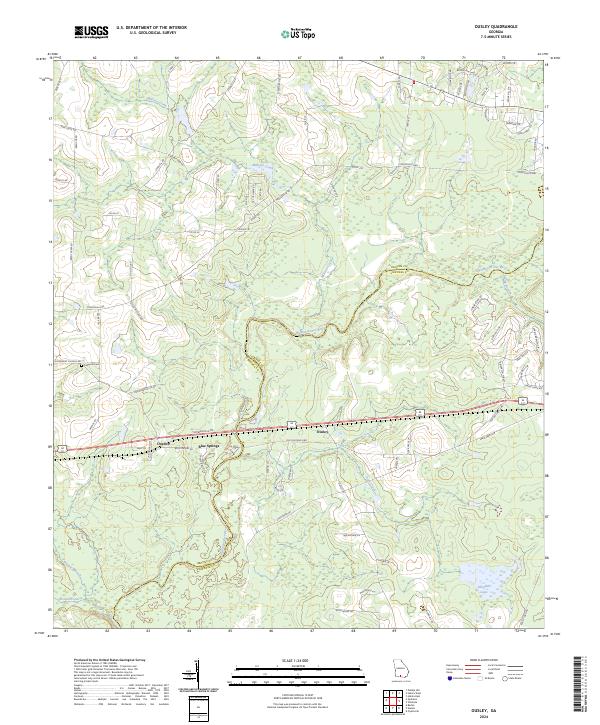
1961 Ousley
Brooks County, GA
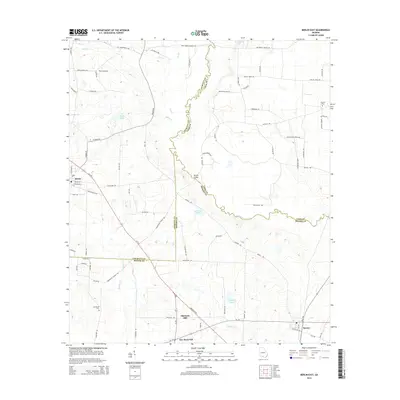
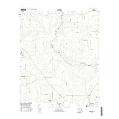
1974 Berlin East
Brooks County, GA
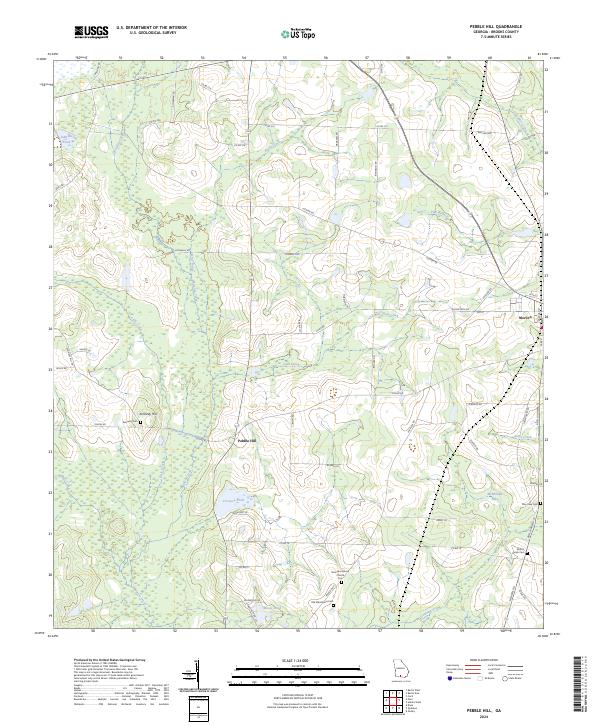
1975 Pebble Hill
Brooks County, GA
1978 Pebble Hill
Brooks County, GA
1994 Nankin
Brooks County, GA
2011 Baden
Brooks County, GA
2011 Berlin East
Brooks County, GA
2011 Grooverville
Brooks County, GA
2011 Hahira West
Brooks County, GA
2011 Nankin
Brooks County, GA
2011 Ousley
Brooks County, GA
2011 Pebble Hill
Brooks County, GA
2014 Baden
Brooks County, GA
2014 Berlin East
Brooks County, GA
2014 Grooverville
Brooks County, GA
2014 Hahira West
Brooks County, GA
2014 Nankin
Brooks County, GA
2014 Ousley
Brooks County, GA
2014 Pebble Hill
Brooks County, GA
2017 Baden
Brooks County, GA
2017 Berlin East
Brooks County, GA
2017 Grooverville
Brooks County, GA
2017 Hahira West
Brooks County, GA
2017 Nankin
Brooks County, GA
2017 Ousley
Brooks County, GA
2017 Pebble Hill
Brooks County, GA
2020 Baden
Brooks County, GA

2020 Berlin East
Brooks County, GA
2020 Grooverville
Brooks County, GA
2020 Hahira West
Brooks County, GA
2020 Nankin
Brooks County, GA
2020 Ousley
Brooks County, GA
2020 Pebble Hill
Brooks County, GA
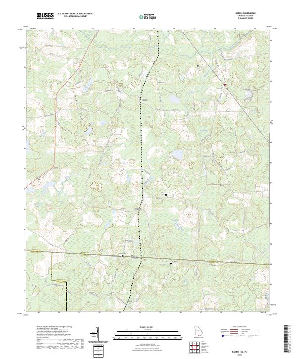
2024 Baden
Brooks County, GA
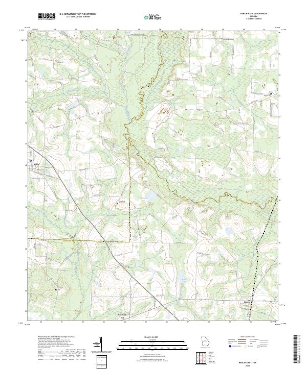
2024 Berlin East
Brooks County, GA
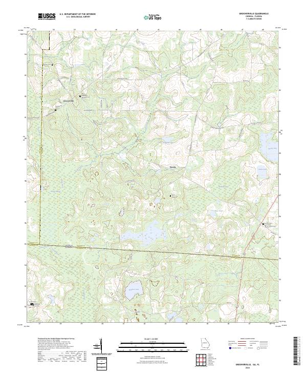
2024 Grooverville
Brooks County, GA
2024 Hahira West
Brooks County, GA
2024 Nankin
Brooks County, GA
2024 Ousley
Brooks County, GA
2024 Pebble Hill
Brooks County, GA