
1961 Map of White Springs West
USGS Topo · Published 1963About this map
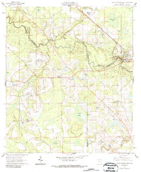
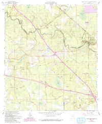
The Suwannee River meanders through the heart of this North Florida landscape, defining the borders between Hamilton, Suwannee, and Columbia counties. This 1961 field-checked survey reveals a region defined by its reliance on water and the Southern Railway, which cuts a diagonal path toward White Springs. Cultural sites are clustered along this corridor, most notably the Stephen Foster State Memorial and the White Sulphur Spring, which historically drew visitors to the river’s edge. The surrounding countryside is dotted with numerous small bodies of water like Button Bush Pond and Lake Louise, interspersed with agricultural prairies such as Greens Prairie. Religious and social hubs like Swift Creek Ch, Springville Ch, and Zion Temple Ch provide critical anchor points for genealogists tracing family roots in these rural communities. Named features like Jim Mike Hill and Caney Hammock suggest a deeply localized naming tradition rooted in the physical terrain and long-standing family presence.
Find a feature on this map
58 named features on this map. Tap any name to fly to it.
Don’t see what you’re looking for? This feature index may not catch every label — zoom into the map to look around manually.
Map Details
Editions of this 1961 White Springs West Map
3 editions found
Other maps of this area

1954 · Valdosta
USGS Topo · 1:250,000

1958 · Valdosta
USGS Topo · 1:250,000

1959 · Valdosta
USGS Topo · 1:250,000

1961 · Live Oak East
USGS Topo · 1:24,000

1961 · Hillcoat
USGS Topo · 1:24,000

1961 · White Springs East
USGS Topo · 1:24,000

1962 · Genoa
USGS Topo · 1:24,000

1963 · Lake City West
USGS Topo · 1:24,000
1969 · Wellborn
USGS Topo · 1:24,000
1969 · Benton
USGS Topo · 1:24,000