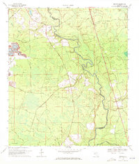
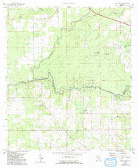
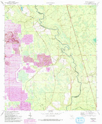
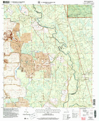
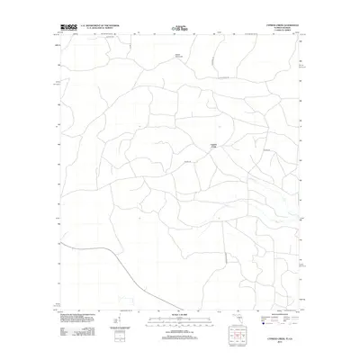
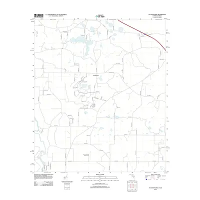
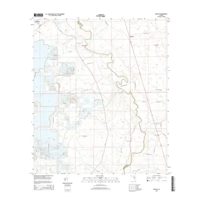
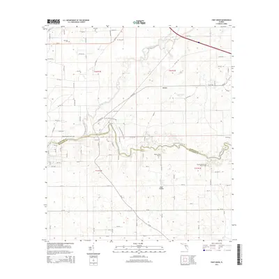
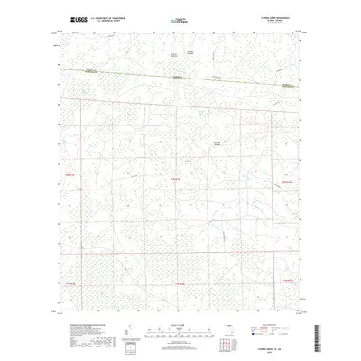
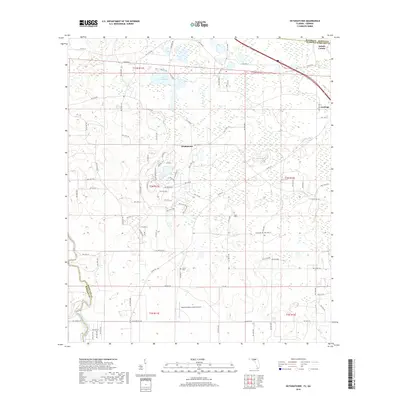
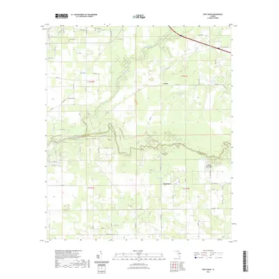
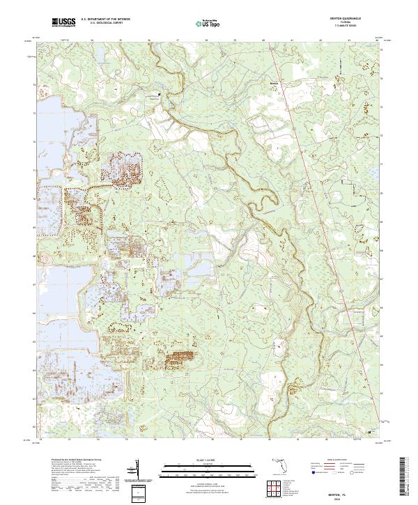
1969 Map of Benton
USGS Topo · Published 1971About this map
The Suwannee River carves a winding path through the borderlands of Hamilton and Columbia counties, defining a landscape of wetlands and low ridges. Near the northern bend of the river sits the small settlement of Benton, while the surrounding terrain is marked by numerous watercourses including Roaring Creek, Hunter Creek, and Little Creek. The area’s geography is influenced by the presence of Sugar Ridge and extensive swampy regions like Hooker Bay.
Find a feature on this map
24 named features on this map. Tap any name to fly to it.
Don’t see what you’re looking for? This feature index may not catch every label — zoom into the map to look around manually.
Map Details
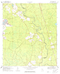
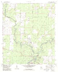
Editions of this 1969 Benton Map
3 editions found
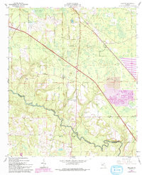
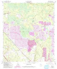
Historical Maps of Benton Through Time
45 maps found
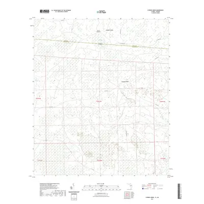
1955 Cypress Creek
Hamilton County, FL
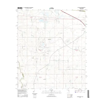
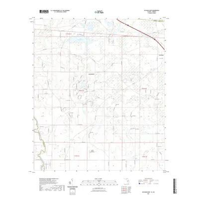
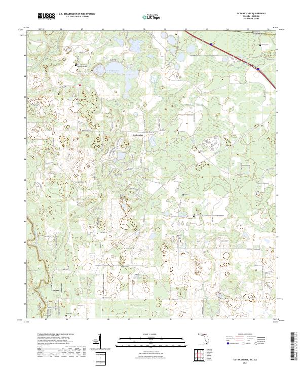
1956 Octahatchee
Hamilton County, FL
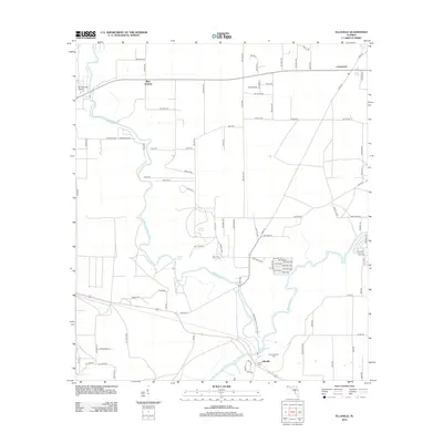
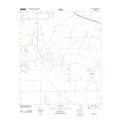
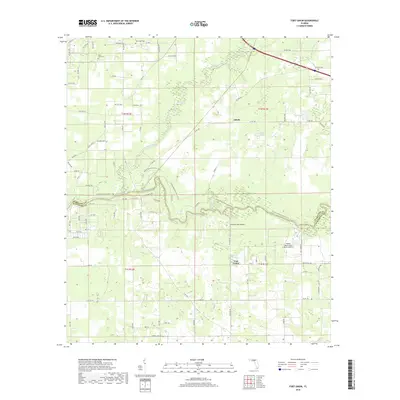
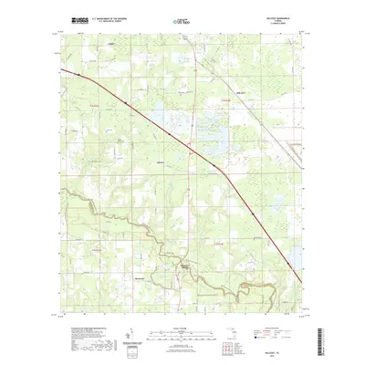
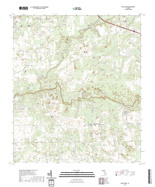
1958 Fort Union
Hamilton County, FL
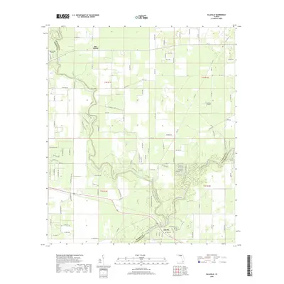
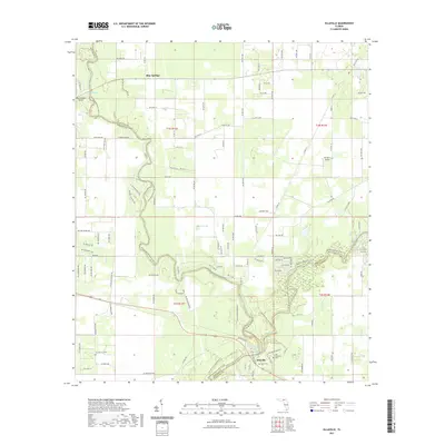
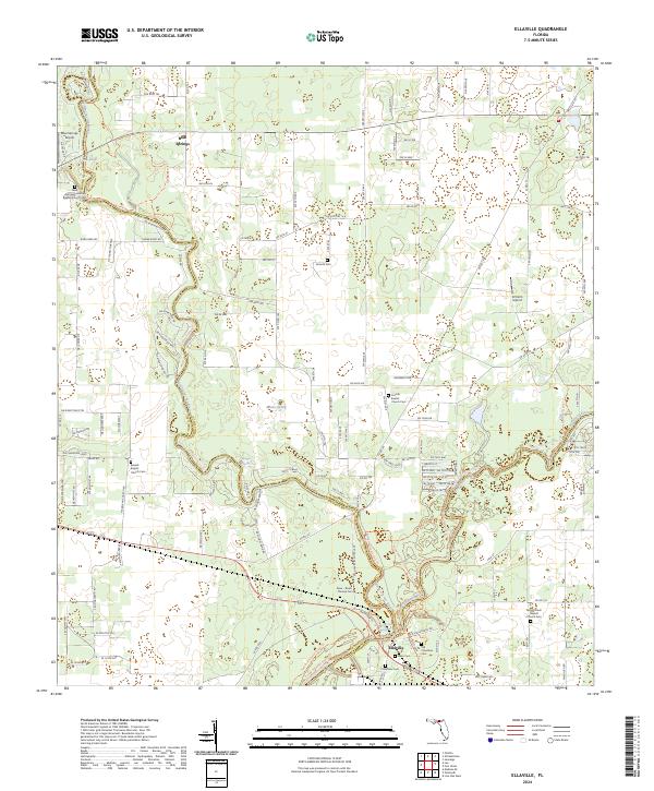
1959 Ellaville
Hamilton County, FL
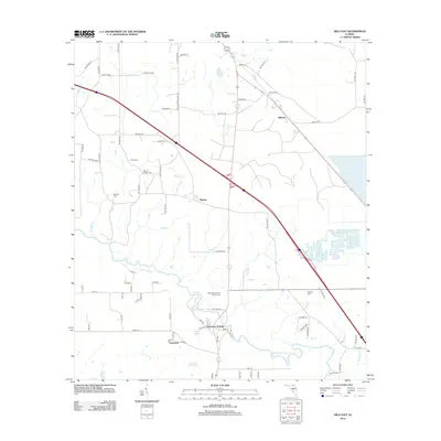
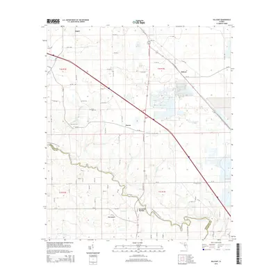
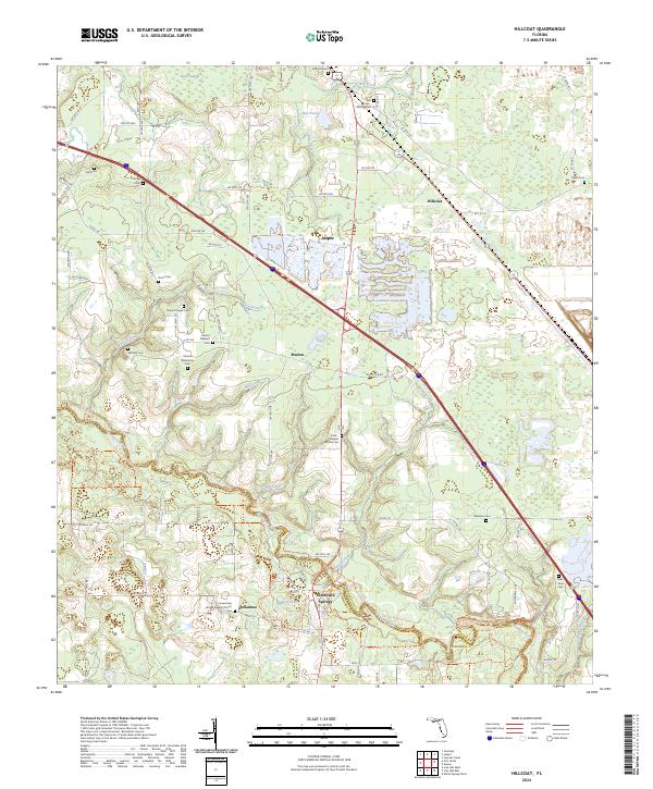
1961 Hillcoat
Hamilton County, FL
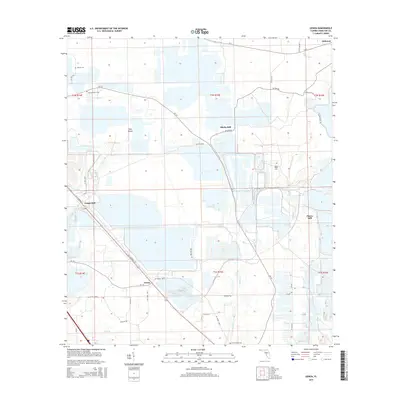
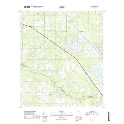
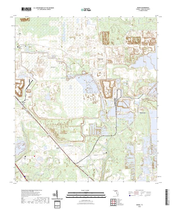
1962 Genoa
Hamilton County, FL
1969 Benton
Hamilton County, FL
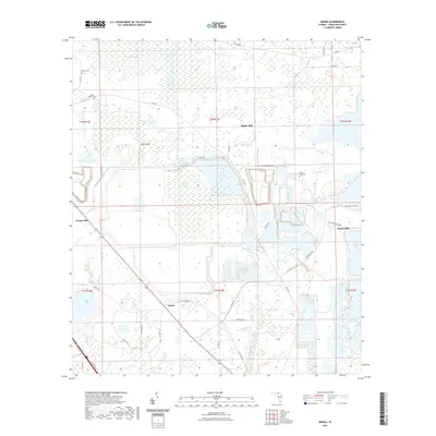
2006 Benton
Hamilton County, FL
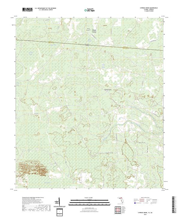
2011 Cypress Creek
Hamilton County, FL
2011 Octahatchee
Hamilton County, FL

2012 Benton
Hamilton County, FL
2012 Cypress Creek
Hamilton County, FL
2012 Ellaville
Hamilton County, FL
2012 Fort Union
Hamilton County, FL

2012 Genoa
Hamilton County, FL
2012 Hillcoat
Hamilton County, FL
2012 Octahatchee
Hamilton County, FL
2015 Benton
Hamilton County, FL
2015 Cypress Creek
Hamilton County, FL
2015 Ellaville
Hamilton County, FL
2015 Fort Union
Hamilton County, FL
2015 Genoa
Hamilton County, FL
2015 Hillcoat
Hamilton County, FL
2015 Octahatchee
Hamilton County, FL

2018 Benton
Hamilton County, FL
2018 Cypress Creek
Hamilton County, FL
2018 Ellaville
Hamilton County, FL
2018 Fort Union
Hamilton County, FL

2018 Genoa
Hamilton County, FL
2018 Hillcoat
Hamilton County, FL
2018 Octahatchee
Hamilton County, FL
2021 Benton
Hamilton County, FL
2021 Cypress Creek
Hamilton County, FL
2021 Ellaville
Hamilton County, FL
2021 Fort Union
Hamilton County, FL
2021 Genoa
Hamilton County, FL
2021 Hillcoat
Hamilton County, FL
2021 Octahatchee
Hamilton County, FL
2024 Benton
Hamilton County, FL
2024 Cypress Creek
Hamilton County, FL
2024 Ellaville
Hamilton County, FL
2024 Fort Union
Hamilton County, FL
2024 Genoa
Hamilton County, FL
2024 Hillcoat
Hamilton County, FL
2024 Octahatchee
Hamilton County, FL