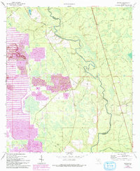
1969 Map of Benton
USGS Topo · Published 1993About this map
The Suwannee River meanders across the border of Hamilton and Columbia counties, defining a landscape shaped by both natural hydrology and heavy industry. While the settlement of Benton remains a central point of reference, the western portion of the map is dominated by extensive phosphate operations, evidenced by several Tailings Ponds and a large Strip Mine. These industrial features, revised in the early 1990s, contrast with the traditional rural character of the area, where Sugar Ridge and various wetlands like Still Bay persist. Local community life is anchored by small country churches, including Oak Grove Ch, Deep Creek Ch, and Prospect Ch. Numerous watercourses such as Roaring Creek and Little Suwannee feed the main river, highlighting the intricate drainage system of this North Florida region during the late twentieth century.
Find a feature on this map
21 named features on this map. Tap any name to fly to it.
Don’t see what you’re looking for? This feature index may not catch every label — zoom into the map to look around manually.
Map Details
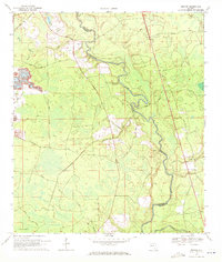
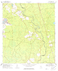
Editions of this 1969 Benton Map
3 editions found
Other maps of this area

1954 · Valdosta
USGS Topo · 1:250,000

1955 · Council
USGS Topo · 1:24,000

1955 · Cypress Creek
USGS Topo · 1:24,000

1955 · Fargo SW
USGS Topo · 1:24,000

1958 · Valdosta
USGS Topo · 1:250,000

1959 · Valdosta
USGS Topo · 1:250,000

1961 · Deep Creek
USGS Topo · 1:24,000

1961 · White Springs East
USGS Topo · 1:24,000

1961 · White Springs West
USGS Topo · 1:24,000

1962 · Genoa
USGS Topo · 1:24,000