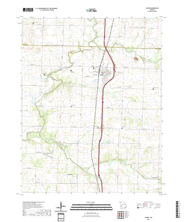
2021 Map of Jasper
USGS Topo · Published 2021About this map
The town of Jasper serves as the central hub of this 2021 survey, situated just north of the Barton Co Jasper Co line in Missouri. The landscape is defined by the winding course of the North Fork Spring River, which feeds into Webbs Lake west of the main settlement. The area's agricultural and rural heritage is evident in the high density of family and community burial grounds, such as Waters Cem in the north and Salem Cem further south. A notable cluster of smaller watercourses, including Coon Creek, Cripple Cr, and Opossum Cr, crisscross the territory, illustrating the drainage patterns that have historically influenced local land use. Further south, the settlement of Carytown sits near the headwaters of the Dry Fork, while aviation history is represented by the inclusion of Seiferd Field near the river's edge.
Find a feature on this map
78 named features on this map. Tap any name to fly to it.
Don’t see what you’re looking for? This feature index may not catch every label — zoom into the map to look around manually.
Map Details
Editions of this 2021 Jasper Map
This is the sole edition of this map. No revisions or reprints were ever made.