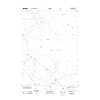
2012 Map of Jefferson
USGS Topo · Published 2012About this map
Jefferson sits at the heart of this White Mountains landscape, where the valley floor of the Israel River meets the rising slopes of the Pliny Range. The topography is dominated by several significant peaks, including Mount Waumbek and Mount Starr King, with the high-elevation notches of Bunnell Notch and Willard Notch carving paths through the granite ridges. The map captures the distinct settlement pattern of the area, from the central town of Jefferson to the smaller communities of Starr King and Jefferson Highland located further east. Along the lowlands, the Waumbek Golf Course occupies a stretch of open terrain between the river and the mountains. A dense network of local roads, such as Turnpike Rd and Stag Hollow Rd, provides access to the numerous mountain brooks, including Garland Brook and Priscilla Brook, which drain the eastern summits toward the river valley.
Find a feature on this map
51 named features on this map. Tap any name to fly to it.
Don’t see what you’re looking for? This feature index may not catch every label — zoom into the map to look around manually.
Map Details
Editions of this 2012 Jefferson Map
This is the sole edition of this map. No revisions or reprints were ever made.
Other maps of this area

1893 · Mt. Washington
USGS Topo · 1:62,500

1896 · Mt. Washington
USGS Topo · 1:62,500

1900 · Whitefield
USGS Topo · 1:62,500

1920 · Guildhall
USGS Topo · 1:62,500

1930 · Percy
USGS Topo · 1:62,500

1931 · Guildhall
USGS Topo · 1:48,000

1933 · Guildhall
USGS Topo · 1:48,000

1934 · Percy
USGS Topo · 1:62,500

1935 · Whitefield
USGS Topo · 1:48,000

1935 · Mt. Washington
USGS Topo · 1:62,500