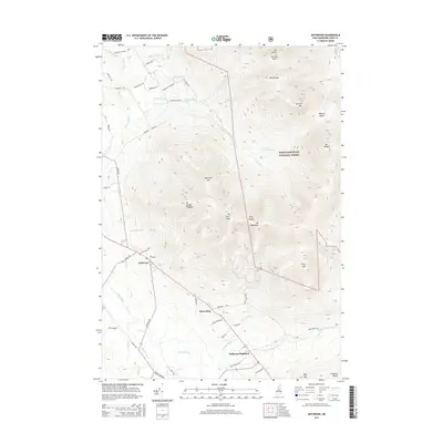
2015 Map of Jefferson
USGS Topo · Published 2015About this map
Jefferson and Jefferson Highland serve as the primary valley settlements in this mountainous landscape within the White Mountain National Forest. The topography is dominated by the soaring peaks of the Pliny Range, including Mt Waumbek and Mt Starr King, alongside the Pilot Range to the north. These massive granite formations dictate the local drainage, with the Israel River and numerous tributaries like Stalbird Brook and Priscilla Brook carving through the valleys. The map shows a network of local roads such as Phelps Rd and Meadows Rd that connect rural homesteads and provide access to the high backcountry. This 2015 survey illustrates how the region's early settlement patterns were constrained by the dramatic rise of the Crescent Range and other interior heights, preserving the area for a mix of small-scale mountain living and protected forest land.
Find a feature on this map
59 named features on this map. Tap any name to fly to it.
Don’t see what you’re looking for? This feature index may not catch every label — zoom into the map to look around manually.
Map Details
Editions of this 2015 Jefferson Map
This is the sole edition of this map. No revisions or reprints were ever made.
Other maps of this area

1893 · Mt. Washington
USGS Topo · 1:62,500

1896 · Mt. Washington
USGS Topo · 1:62,500

1900 · Whitefield
USGS Topo · 1:62,500

1920 · Guildhall
USGS Topo · 1:62,500

1930 · Percy
USGS Topo · 1:62,500

1931 · Guildhall
USGS Topo · 1:48,000

1933 · Guildhall
USGS Topo · 1:48,000

1934 · Percy
USGS Topo · 1:62,500

1935 · Whitefield
USGS Topo · 1:48,000

1935 · Mt. Washington
USGS Topo · 1:62,500