2022 Map of Jefferson
USGS Topo · Published 2022About this map
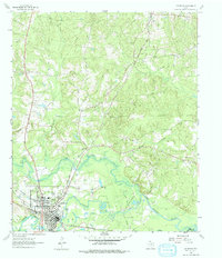
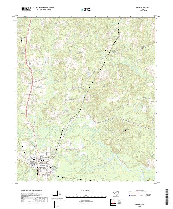
Jefferson serves as the focal point of this East Texas survey, where the convergence of Big Cypress Bayou and Black Cypress Bayou shaped the development of this riverfront community. The town’s historical importance is underscored by the Marion County Courthouse, surrounded by a dense grid of residential streets such as W Douglas St and E Harrison St. Outside the town center, the landscape is defined by its numerous rural burial grounds, including the Cedar Grove Cem and Mount Sinai Cem, which reflect the long-standing settlement patterns of the region.
Find a feature on this map
84 named features on this map. Tap any name to fly to it.
Don’t see what you’re looking for? This feature index may not catch every label — zoom into the map to look around manually.
Map Details
Editions of this 2022 Jefferson Map
This is the sole edition of this map. No revisions or reprints were ever made.