2022 Map of Jewell
USGS Topo · Published 2022About this map
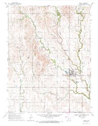
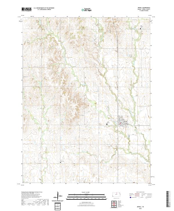
Jewell serves as the central hub of this agricultural region in northern Kansas, showing the grid-patterned streets and local intersections that define the town. The landscape is deeply carved by the drainage networks of W Buffalo Cr and Middle Buffalo Cr, which create a series of distinct valleys and ridges across the township. These watercourses are fundamental to the area's geography, dictating the placement of rural roads and property boundaries. The map reflects a modern snapshot of a classic plains community, where the orientation of the town is closely tied to the natural hydrology of the Buffalo Creek system.
Find a feature on this map
3 named features on this map. Tap any name to fly to it.
Don’t see what you’re looking for? This feature index may not catch every label — zoom into the map to look around manually.
Map Details
Editions of this 2022 Jewell Map
This is the sole edition of this map. No revisions or reprints were ever made.