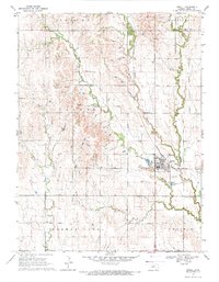
1969 Map of Jewell
USGS Topo · Published 1971About this map
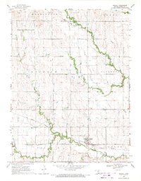
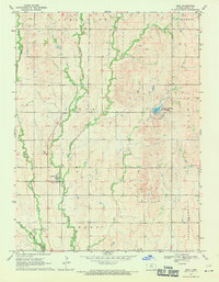
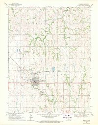
Jewell serves as the primary hub of activity in this north-central Kansas landscape, situated at the confluence of several watercourses and the Missouri Pacific railroad line. The settlement pattern is defined by its grid system, which contrasts with the meandering paths of West Buffalo Creek, Middle Buffalo Creek, and East Buffalo Creek as they drain toward the south. Local industry and land use are evident through the presence of several Quarries dotting the northern terrain and a dedicated Landing Strip located just south of the main township.
Find a feature on this map
21 named features on this map. Tap any name to fly to it.
Don’t see what you’re looking for? This feature index may not catch every label — zoom into the map to look around manually.
Map Details
Editions of this 1969 Jewell Map
This is the sole edition of this map. No revisions or reprints were ever made.
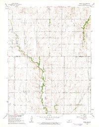
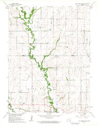
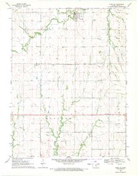
Other maps of this area

1894 · Mankato
USGS Topo · 1:125,000

1955 · Beloit
USGS Topo · 1:250,000

1959 · Beloit
USGS Topo · 1:250,000
1962 · Jewell SE
USGS Topo · 1:24,000
1962 · Glen Elder North
USGS Topo · 1:24,000

1962 · Jewell SW
USGS Topo · 1:24,000
1968 · Burr Oak
USGS Topo · 1:24,000
1969 · Randall
USGS Topo · 1:24,000
1969 · Ionia
USGS Topo · 1:24,000
1969 · Mankato
USGS Topo · 1:24,000