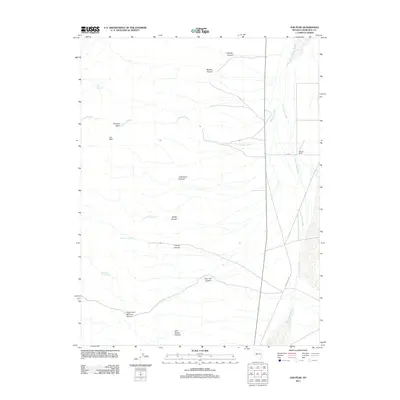
2011 Map of Job Peak
USGS Topo · Published 2011About this map
Job Peak stands as the dominant topographical landmark in this high-desert landscape of Churchill County. The terrain is defined by a series of dramatic drainages and deep incisions, including Little Box Canyon and Big Box Canyon to the north, and the extensive Cain Spring Canyon to the south. Water sources are scarce but critical, marked by isolated points such as Poco Camp Spring and Lower East Lee Spring.
Find a feature on this map
19 named features on this map. Tap any name to fly to it.
Don’t see what you’re looking for? This feature index may not catch every label — zoom into the map to look around manually.
Map Details
Editions of this 2011 Job Peak Map
This is the sole edition of this map. No revisions or reprints were ever made.
Other maps of this area

1908 · Carson Sink
USGS Topo · 1:250,000

1910 · Carson Sink
USGS Topo · 1:250,000

1957 · Reno
USGS Topo · 1:250,000

1959 · Reno
USGS Topo · 1:250,000

1960 · Reno
USGS Topo · 1:250,000

1969 · Cox Canyon
USGS Topo · 1:24,000

1969 · Table Mtn
USGS Topo · 1:24,000

1972 · Pirouette Mtn
USGS Topo · 1:24,000
1972 · I X L Canyon
USGS Topo · 1:24,000
1972 · Job Peak
USGS Topo · 1:24,000