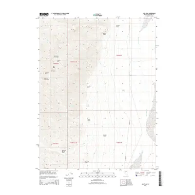
2015 Map of Job Peak
USGS Topo · Published 2015About this map
Job Peak stands as the dominant summit of the Stillwater Range in Churchill County, overseeing a complex network of drainages and seasonal water sources. The map records a series of essential desert waypoints, including Poco Camp Spring, Coyote Spring, and Lower East Lee Spring, which have historically supported life and travel through this arid landscape. To the east, the topography transitions sharply into the broad expanse of Dixie Valley, where the Dixie Valley Wash provides a primary drainage route along the basin floor.
Find a feature on this map
30 named features on this map. Tap any name to fly to it.
Don’t see what you’re looking for? This feature index may not catch every label — zoom into the map to look around manually.
Map Details
Editions of this 2015 Job Peak Map
This is the sole edition of this map. No revisions or reprints were ever made.
Other maps of this area

1908 · Carson Sink
USGS Topo · 1:250,000

1910 · Carson Sink
USGS Topo · 1:250,000

1957 · Reno
USGS Topo · 1:250,000

1959 · Reno
USGS Topo · 1:250,000

1960 · Reno
USGS Topo · 1:250,000

1969 · Cox Canyon
USGS Topo · 1:24,000

1969 · Table Mtn
USGS Topo · 1:24,000

1972 · Pirouette Mtn
USGS Topo · 1:24,000
1972 · I X L Canyon
USGS Topo · 1:24,000
1972 · Job Peak
USGS Topo · 1:24,000