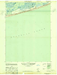
1947 Map of Jones Beach
USGS Topo · Published 1947About this map
Jones Beach State Park dominates this post-war coastal landscape, where the barrier island architecture meets the shifting waters of the Atlantic Ocean. The map documents the intricate infrastructure of the South Shore during a period of significant recreational development, featuring the Ocean Boulevard and the Jones Beach Underpass. Beyond the public beaches, the landscape is defined by the marshy complex of South Line Island and Black Banks Island, separated from the mainland by the State Boat Channel and South Oyster Bay. This survey provides a precise look at the maritime safety and conservation efforts of the late 1940s, including the Jones Beach Life Boat Station, a C G Cupola, and the dedicated Bird and Game Sanctuary near Salt Pond.
Find a feature on this map
24 named features on this map. Tap any name to fly to it.
Don’t see what you’re looking for? This feature index may not catch every label — zoom into the map to look around manually.
Map Details
Editions of this 1947 Jones Beach Map
This is the sole edition of this map. No revisions or reprints were ever made.
Other maps of this area

1897 · Hempstead
USGS Topo · 1:62,500

1898 · Hempstead
USGS Topo · 1:62,500

1899 · Hempstead
USGS Topo · 1:62,500

1901 · Babylon
USGS Topo · 1:62,500

1903 · Babylon
USGS Topo · 1:62,500

1903 · Hempstead
USGS Topo · 1:62,500

1904 · Islip
USGS Topo · 1:125,000
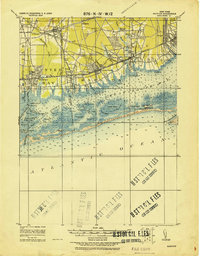
1919 · Babylon
USGS Topo · 1:62,500
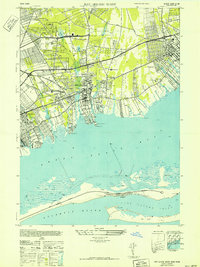
1941 · Bay Shore West
USGS Topo · 1:24,000

1942 · Islip
USGS Topo · 1:125,000