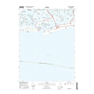
2016 Map of Jones Inlet
USGS Topo · Published 2016About this map
Lido Beach and Point Lookout anchor the western end of the barrier island system shown in this mid-2010s survey. The landscape is defined by the intricate network of salt marshes and channels that separate the South Shore mainland from the Atlantic coast. Major thoroughfares such as the Meadowbrook State Pkwy and Loop Pkwy stitch together landmasses like Meadow Island and Jones Island, crossing tidal waters via the Long Creek Bridge and Sloop Channel Bridge.
Find a feature on this map
84 named features on this map. Tap any name to fly to it.
Don’t see what you’re looking for? This feature index may not catch every label — zoom into the map to look around manually.
Map Details
Editions of this 2016 Jones Inlet Map
This is the sole edition of this map. No revisions or reprints were ever made.
Other maps of this area

1897 · Hempstead
USGS Topo · 1:62,500

1898 · Hempstead
USGS Topo · 1:62,500

1899 · Hempstead
USGS Topo · 1:62,500

1901 · Babylon
USGS Topo · 1:62,500

1903 · Babylon
USGS Topo · 1:62,500

1903 · Hempstead
USGS Topo · 1:62,500

1904 · Islip
USGS Topo · 1:125,000
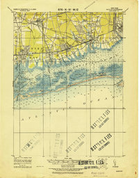
1919 · Babylon
USGS Topo · 1:62,500

1942 · Islip
USGS Topo · 1:125,000
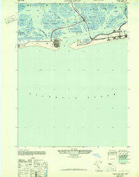
1947 · Jones Inlet
USGS Topo · 1:24,000