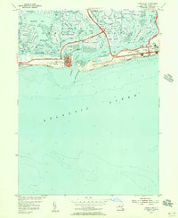
1954 Map of Jones Inlet
USGS Topo · Published 1956About this map
Jones Beach State Park dominates this coastal survey, showcasing the mid-century infrastructure of the Long Island shore. The landscape is a complex network of salt marshes and tidal channels, including Hempstead Bay and the Jones Inlet. Modern transportation is a primary focus, featuring the Meadowbrook State Parkway and its Meadowbrook Toll Road, which provided essential access to the developing recreation areas.
Find a feature on this map
71 named features on this map. Tap any name to fly to it.
Don’t see what you’re looking for? This feature index may not catch every label — zoom into the map to look around manually.
Map Details
Editions of this 1954 Jones Inlet Map
2 editions found
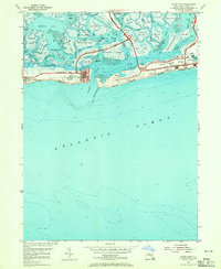
Other maps of this area

1897 · Hempstead
USGS Topo · 1:62,500

1898 · Hempstead
USGS Topo · 1:62,500

1899 · Hempstead
USGS Topo · 1:62,500

1901 · Babylon
USGS Topo · 1:62,500

1903 · Babylon
USGS Topo · 1:62,500

1903 · Hempstead
USGS Topo · 1:62,500

1904 · Islip
USGS Topo · 1:125,000
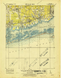
1919 · Babylon
USGS Topo · 1:62,500

1942 · Islip
USGS Topo · 1:125,000
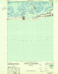
1947 · Jones Inlet
USGS Topo · 1:24,000