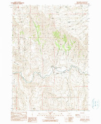
1990 Map of Jonesboro
USGS Topo · Published 1990About this map
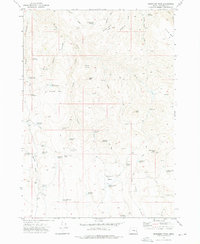
The Malheur River valley defines the central corridor of this eastern Oregon landscape, where the settlement of Jonesboro and agricultural operations like the D Jones Ranch are situated near the Jonesboro Canal. This 1990 survey captures the irrigation-dependent ranching culture of the High Desert, showing the careful management of water through features like the Bristol Reservoir and the Vaughn Peach Ranch. The surrounding terrain is marked by deep cuts such as Black Canyon and Cave Canyon, while various water sources like Antelope Spring and Dipping Vat Creek indicate the vital importance of spring-fed drainage systems in this arid environment. Elevation shifts are pronounced along Stemler Ridge and the Stemler Basin, illustrating the transition from riverine flats to the uplands where numerous named gulches and springs provided the necessary resources for early livestock movement and homesteading.
Find a feature on this map
37 named features on this map. Tap any name to fly to it.
Don’t see what you’re looking for? This feature index may not catch every label — zoom into the map to look around manually.
Map Details
Editions of this 1990 Jonesboro Map
This is the sole edition of this map. No revisions or reprints were ever made.
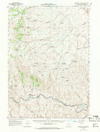
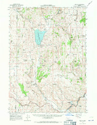
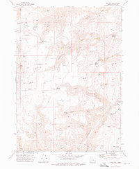
Other maps of this area

1955 · Burns
USGS Topo · 1:250,000

1955 · Boise
USGS Topo · 1:250,000

1958 · Burns
USGS Topo · 1:250,000

1958 · Boise
USGS Topo · 1:250,000

1959 · Burns
USGS Topo · 1:250,000

1962 · Boise
USGS Topo · 1:250,000
1966 · Westfall Butte
USGS Topo · 1:62,500
1966 · Beulah
USGS Topo · 1:62,500
1972 · Tims Peak
USGS Topo · 1:24,000
1972 · Monument Peak
USGS Topo · 1:24,000