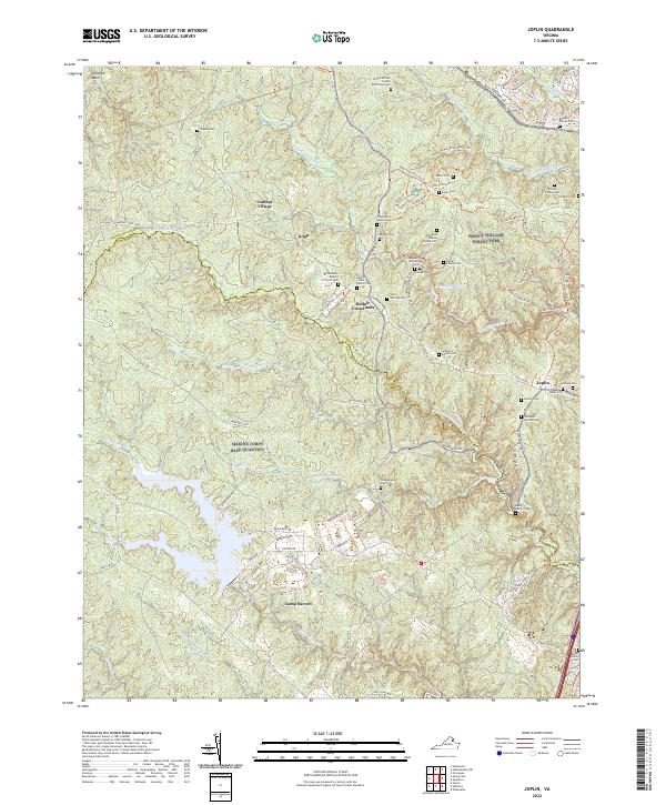
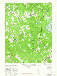
2022 Map of Joplin
USGS Topo · Published 2022About this map
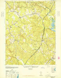
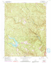
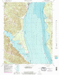
Prince William Forest Park and Marine Corps Base Quantico dominate this landscape on the border of Prince William and Stafford Counties. The map reveals a dense network of family history and early institutional life preserved within these protected lands. Numerous family burial sites, such as the Tolson Family Cem and the Florence-Watson Family Cem, are scattered throughout the wooded terrain, marking the legacy of residents who lived here before the land was consolidated for federal use.
Find a feature on this map
86 named features on this map. Tap any name to fly to it.
Don’t see what you’re looking for? This feature index may not catch every label — zoom into the map to look around manually.
Map Details
Editions of this 2022 Joplin Map
This is the sole edition of this map. No revisions or reprints were ever made.
Historical Maps of Camp Barrett Through Time
28 maps found

1926 Stafford
Stafford County, VA

1931 Stafford
Stafford County, VA
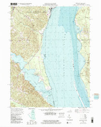
1943 Fredericksburg
Stafford County, VA
1944 Fredericksburg
Stafford County, VA
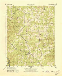
1944 Stafford
Stafford County, VA
1944 Storck
Stafford County, VA
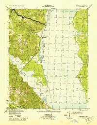
1944 Widewater
Stafford County, VA
1946 Stafford
Stafford County, VA
1946 Widewater
Stafford County, VA
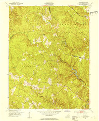
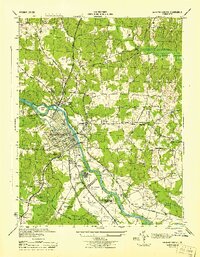
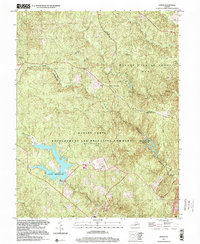
1951 Joplin
Stafford County, VA
1953 Storck
Stafford County, VA
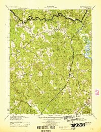
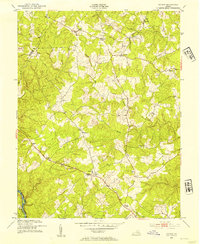
1957 Joplin
Stafford County, VA
1965 Stafford
Stafford County, VA
1966 Fredericksburg
Stafford County, VA
1966 Joplin
Stafford County, VA
1966 Stafford
Stafford County, VA
1966 Storck
Stafford County, VA
1966 Widewater
Stafford County, VA
1972 Fredericksburg
Stafford County, VA
1994 Fredericksburg
Stafford County, VA
1994 Stafford
Stafford County, VA
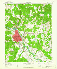
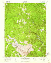
1997 Joplin
Stafford County, VA
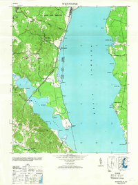
1998 Widewater
Stafford County, VA
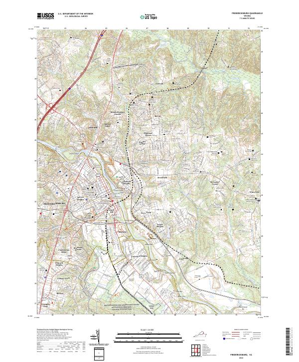
2022 Fredericksburg
Stafford County, VA
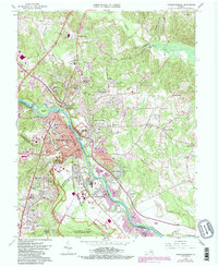
2022 Joplin
Stafford County, VA
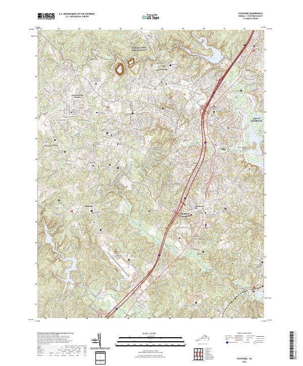
2022 Stafford
Stafford County, VA
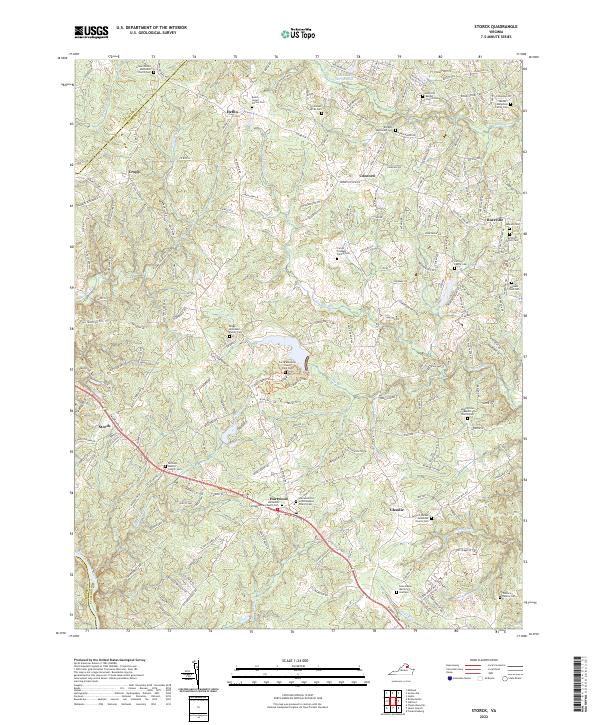
2022 Storck
Stafford County, VA
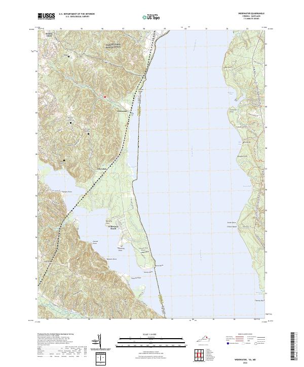
2022 Widewater
Stafford County, VA