2022 Map of Jump River
USGS Topo · Published 2022About this map
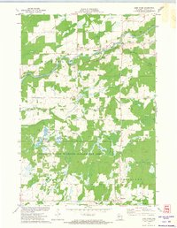
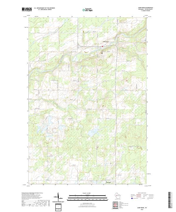
Jump River and Hannibal serve as the primary focal points in this northern Taylor County landscape, situated along the winding course of the Jump River and its various tributaries. The geography is defined by an extensive network of managed wetlands and water bodies, including Waterfowl Flowage, Redman Flowage, and Lake Ellis Flowage, which dominate the southwestern portion of the quadrangle. These features, along with the Shoulder Cr Flowage, reflect a landscape heavily shaped by water management and conservation efforts in the 21st century.
Find a feature on this map
64 named features on this map. Tap any name to fly to it.
Don’t see what you’re looking for? This feature index may not catch every label — zoom into the map to look around manually.
Map Details
Editions of this 2022 Jump River Map
This is the sole edition of this map. No revisions or reprints were ever made.