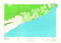
1966 Map of Kalapana
USGS Topo · Published 1968About this map
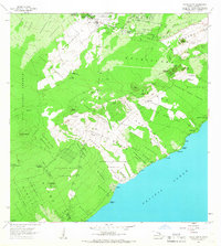
Hawaii Volcanoes National Park dominates the western half of this coastal survey, where the volatile landscape of the Puna District meets the Pacific Ocean. This 1966 field-checked edition captures the region prior to major late-20th-century volcanic activity, documenting the intact villages of Kalapana and Kaimu along the shore. The map is particularly dense with cultural landmarks, including numerous sacred sites such as Wahaula Heiau and Niukukahi Heiau, alongside coastal features like Queens Bath and the Canoe Landing Site near Hakuma Point.
Find a feature on this map
60 named features on this map. Tap any name to fly to it.
Don’t see what you’re looking for? This feature index may not catch every label — zoom into the map to look around manually.
Map Details
Editions of this 1966 Kalapana Map
This is the sole edition of this map. No revisions or reprints were ever made.
Other maps of this area

1922 · Puna
USGS Topo · 1:62,500
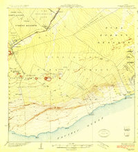
1924 · Puna
USGS Topo · 1:62,500
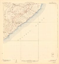
1924 · Kalapana
USGS Topo · 1:62,500

1954 · Hawaii South
USGS Topo · 1:250,000

1959 · Hawaii South
USGS Topo · 1:250,000

1961 · Hawaii South
USGS Topo · 1:250,000

1962 · Hawaii South
USGS Topo · 1:250,000

1963 · Volcano
USGS Topo · 1:24,000
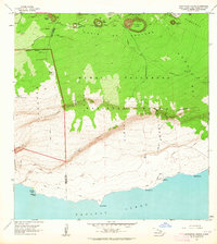
1963 · Makaopuhi Crater
USGS Topo · 1:24,000
1966 · Pahoa South
USGS Topo · 1:24,000