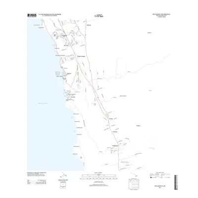
2013 Map of Kealakekua
USGS Topo · Published 2013About this map
Kealakekua and the surrounding Kona coast settlements are documented here during a period of modern residential expansion and cultural preservation. The landscape is defined by its deep historical roots, featuring numerous ceremonial sites like Kepuanoni Heiau, Ke'ekū Heiau, and the Kuakini Wall. These traditional Hawaiian landmarks sit alongside 21st-century developments such as Kuakini Heights, Ali'i Kai, and Sea View. The coastal corridor, tracing the Kuakini Hwy, links established communities including Kainaliu and Honalo. Along the shoreline, geographic features such as Disappearing Sands Beach and Kaukalaelae Point emphasize the volcanic nature of the Island of Hawai'i. Inland, the community is anchored by local institutions like Lanakila Chapel and Keauhou School, reflecting the social fabric of the district as it balances growing urbanization with the protection of significant cultural features like the Keauhou Hōlua.
Find a feature on this map
132 named features on this map. Tap any name to fly to it.
Don’t see what you’re looking for? This feature index may not catch every label — zoom into the map to look around manually.
Map Details
Editions of this 2013 Kealakekua Map
This is the sole edition of this map. No revisions or reprints were ever made.
Other maps of this area

1928 · Kailua
USGS Topo · 1:62,500

1954 · Hawaii South
USGS Topo · 1:250,000

1954 · Hawaii North
USGS Topo · 1:250,000

1959 · Hawaii South
USGS Topo · 1:250,000

1959 · Hawaii North
USGS Topo · 1:250,000

1959 · Hualalai
USGS Topo · 1:24,000

1959 · Honaunau
USGS Topo · 1:24,000

1959 · Puu Lehua
USGS Topo · 1:24,000

1959 · Keahole Point
USGS Topo · 1:24,000

1959 · Kailua
USGS Topo · 1:24,000