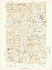
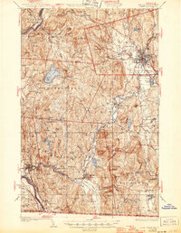
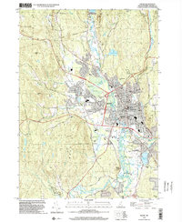
1932 Map of Keene
USGS Topo · Published 1954About this map
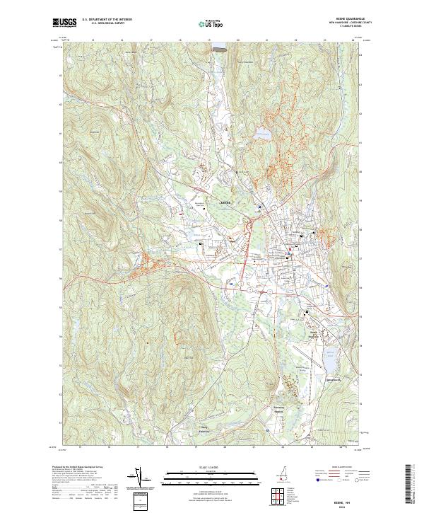
The Ashuelot River and Connecticut River valleys define the industrial and agricultural corridors of southwestern New Hampshire on this 1930s survey. Keene serves as the regional hub, where lines of the Boston and Maine Railroad and Maine Central Railroad converge amidst a landscape of factory villages like Swanzey Factory and West Swanzey. The transition from river-bottom industry to upland farming is evident in the numerous hills named for local families, such as Hyland Hill, Manning Hill, and Stearns Hill.
Find a feature on this map
123 named features on this map. Tap any name to fly to it.
Don’t see what you’re looking for? This feature index may not catch every label — zoom into the map to look around manually.
Map Details
Editions of this 1932 Keene Map
3 editions found
Historical Maps of Keene Through Time
13 maps found
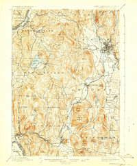
1898 Keene
Cheshire County, NH
1932 Keene
Cheshire County, NH
1935 Keene
Cheshire County, NH

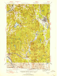
1942 Keene
Cheshire County, NH
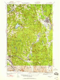
1958 Keene
Cheshire County, NH
1984 Keene
Cheshire County, NH
1986 Keene
Cheshire County, NH
1998 Keene
Cheshire County, NH
2012 Keene
Cheshire County, NH
2015 Keene
Cheshire County, NH
2018 Keene
Cheshire County, NH

2021 Keene
Cheshire County, NH
2024 Keene
Cheshire County, NH