Loading...
Loading map...2024 Map of Keiser
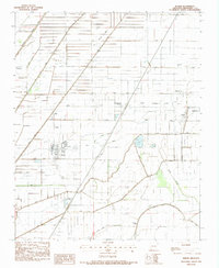
USGS Topo · Published 2024About this map
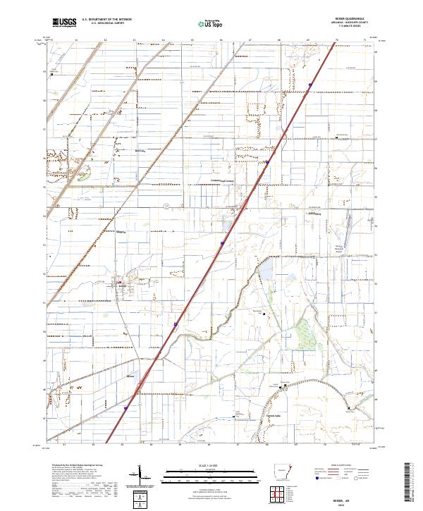
Keiser sits at the heart of this agricultural landscape in Mississippi County, where a grid of rural roads and drainage networks like Walker Bayou and Sandy Bayou define the terrain. The map documents a cluster of settlements including Shippen, Roy, and Hilton, illustrating the distribution of community centers across the Delta. Near the eastern edge, the expanding footprint of Osceola is evident alongside the Osceola Municipal Airport.
Find a feature on this map
51 named features on this map. Tap any name to fly to it.
Don’t see what you’re looking for? This feature index may not catch every label — zoom into the map to look around manually.
Map Details
Date Portrayed2024
Date Published2024
PublisherU.S. Geological Survey
Map TypeTopographic
Scale1:24000
Physical Dimensions24 x 29 inches
Editions of this 2024 Keiser Map
This is the sole edition of this map. No revisions or reprints were ever made.
Historical Maps of Pace Through Time
Featured Locations
Source Details
SourceU.S. Geological Survey
CopyrightPublic Domain