Loading...
Loading map...2024 Map of Kell
USGS Topo · Published 2024About this map
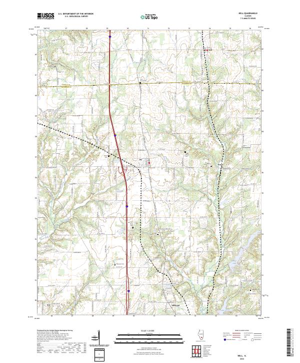
The boundary between Marion Co and Jefferson Co bisects this landscape where the small agricultural centers of Kell, Dix, and Texico serve as focal points for the surrounding rural townships. The region is notable for its numerous burial sites that document the area's genealogical history, including Old Covenanter Cem in the northwest and Hopewell Cem near Idlewood in the southeast.
Find a feature on this map
120 named features on this map. Tap any name to fly to it.
Don’t see what you’re looking for? This feature index may not catch every label — zoom into the map to look around manually.
Map Details
Date Portrayed2024
Date Published2024
PublisherU.S. Geological Survey
Map TypeTopographic
Scale1:24000
Physical Dimensions24 x 29 inches
Editions of this 2024 Kell Map
This is the sole edition of this map. No revisions or reprints were ever made.
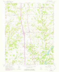
Historical Maps of Kell Through Time
Featured Locations
Source Details
SourceU.S. Geological Survey
CopyrightPublic Domain